
Cabour Dunes (Adinkerke, Belgium)
Photos - Info - Meteo - Tips - Nieuws - Geo Info -
General information about the Cabour Dunes
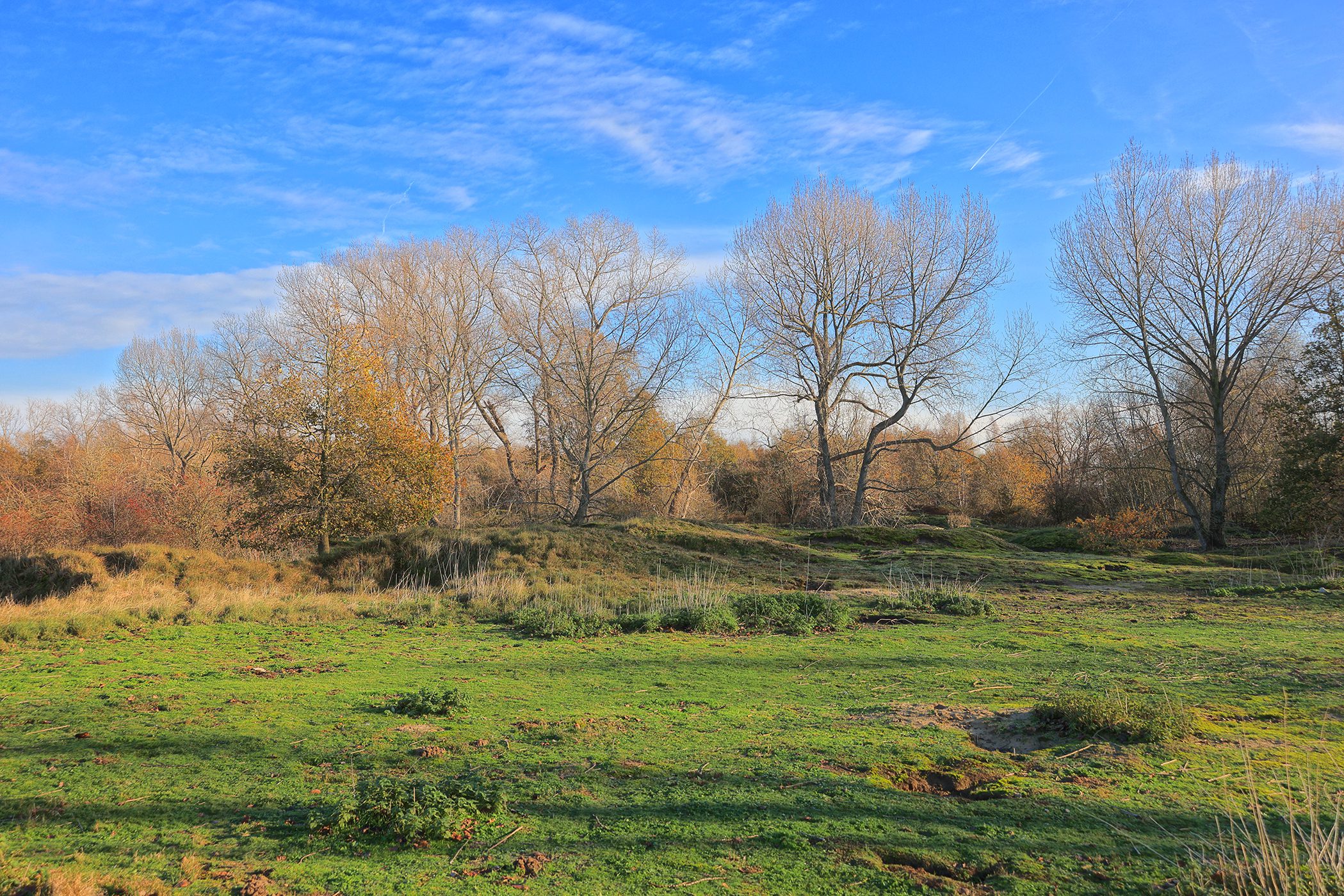
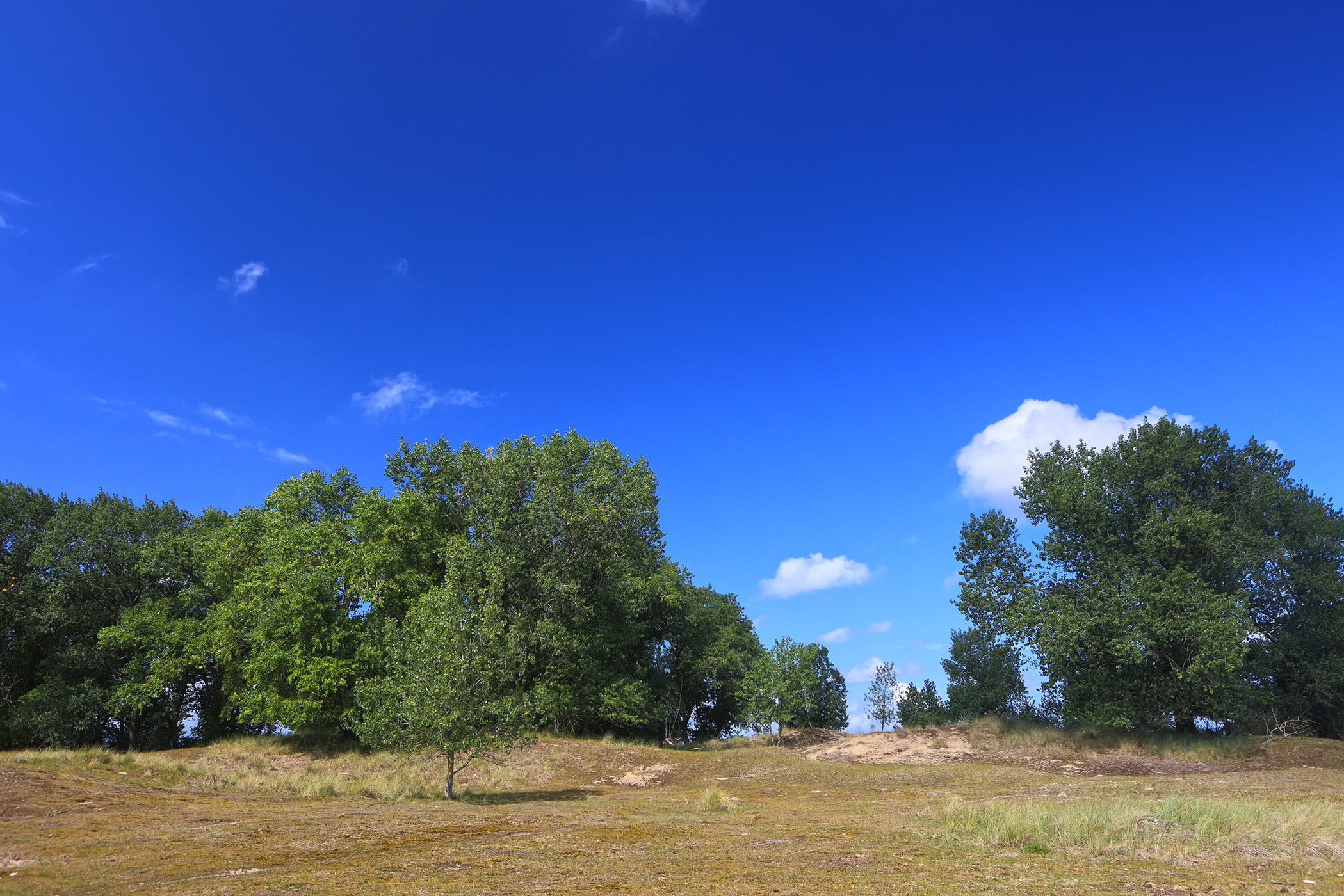
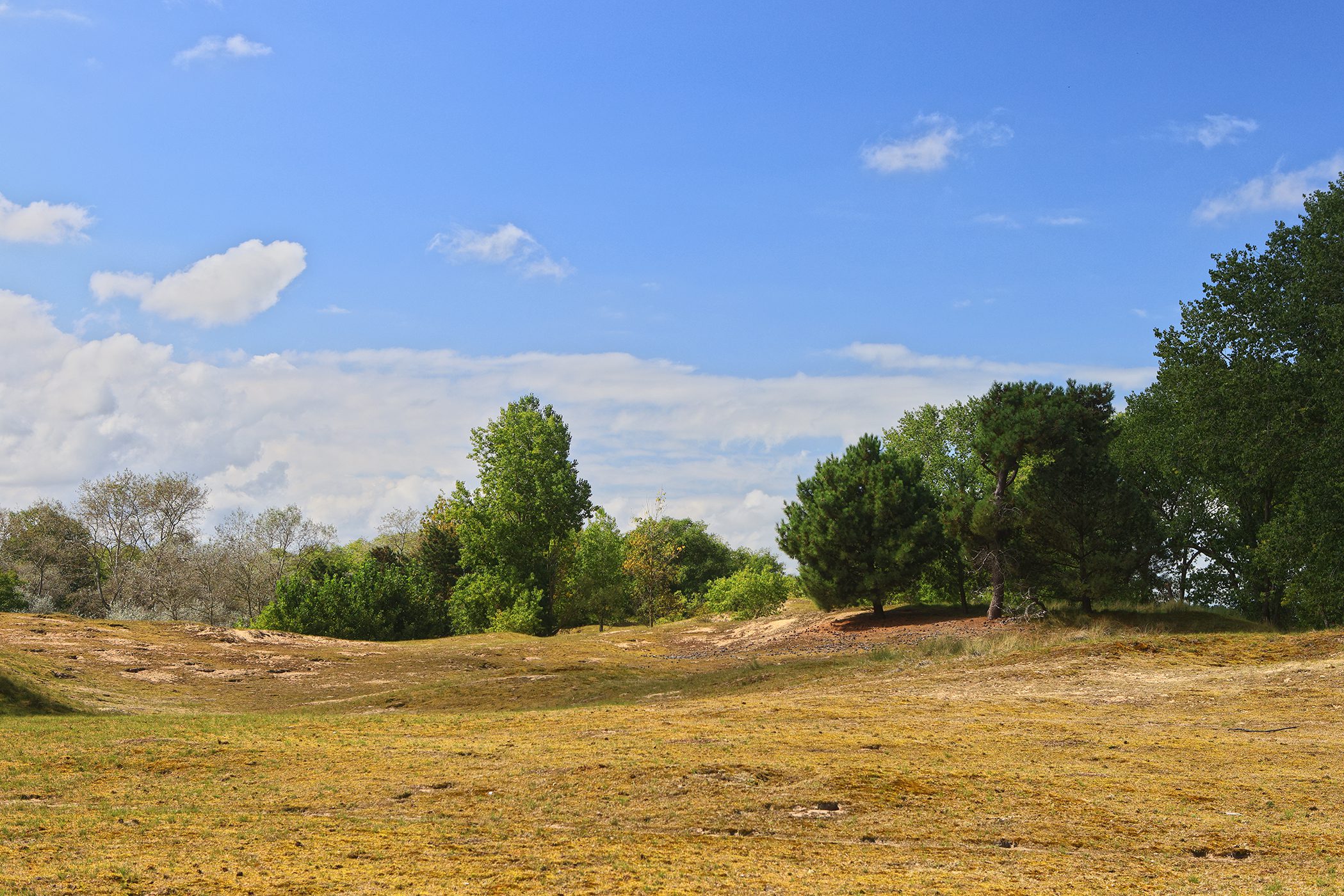
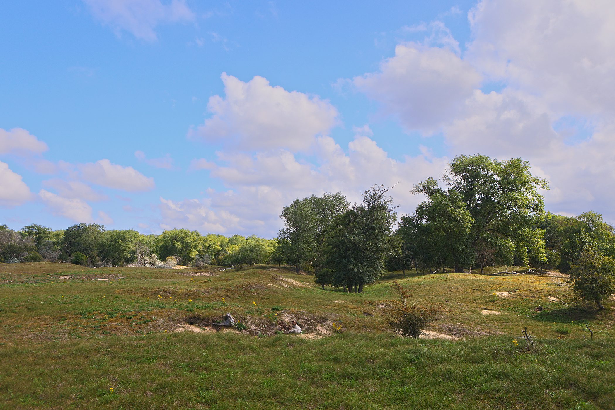
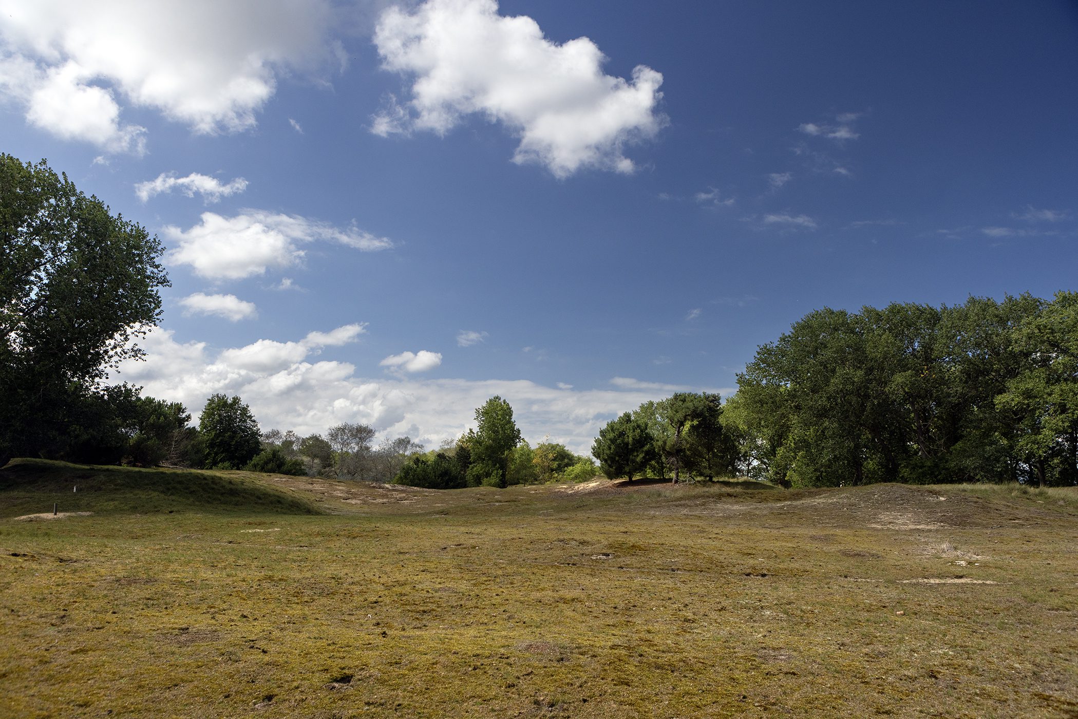
The Cabour Dunes is a contiguous stretch of 89 hectares of ancient, so-called, fossil dunes. It is a protected area consisting of ancient dunes: more than 3,300 years old. Some sources even speak of 5,000 or 12,000 years old. In short, very old. This makes them the oldest of the entire Belgian coast. In all that time, rainwater has removed the lime from the soil. Consequently, there is a specific vegetation.
This nature reserve is located in Adinkerke on the French border, parallel to the E40 freeway. Actually, the area extends even further into Gijvelde, France. In fact, there is another piece there that is even slightly larger than the Belgian piece. You can also see it as a Belgian continuation of the French "Les Dunes de Flandre".
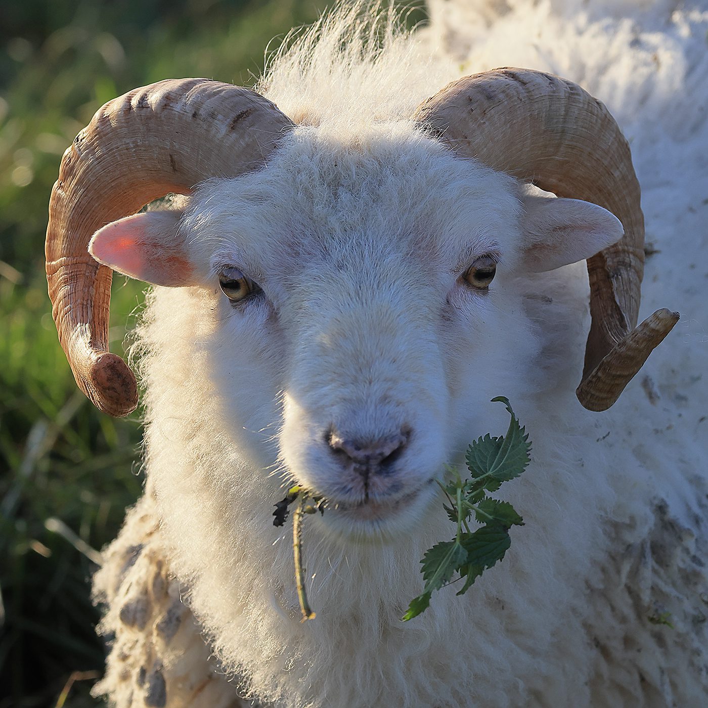
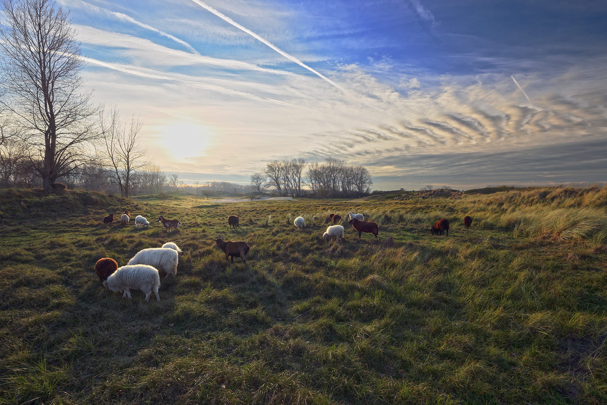
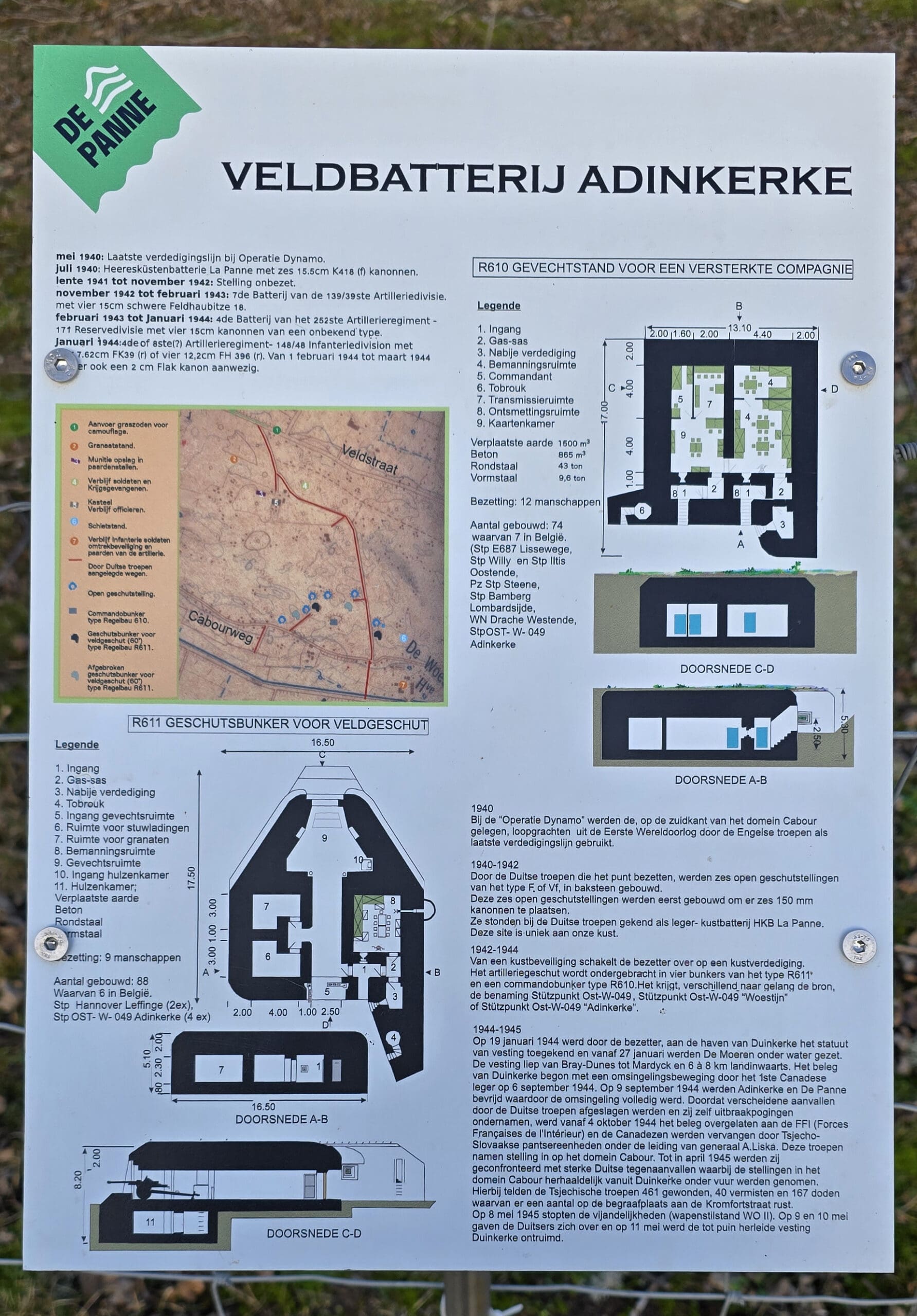
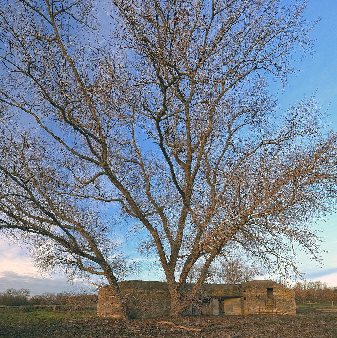
It was once a water reclamation area. Scattered around the domain you can still find some bunkers. Some of those bunkers house bats. If you are a little lucky you will also see a flock of sheep and goats. In the summer you can also see Shetland ponies. These animals are used to graze the domain somewhat ecologically.
Only one hiking trail runs through the property. The area is actually best accessed with a nature guide. Without a guide there are limited hiking opportunities. You can also walk around the domain which also gives you a good impression of this unique dune area.
One wants to keep the rabbits, numerous in number, somewhat under control and mostly within the domain. Outside, they can damage agricultural crops. Just think of farmer Deswarte's delicious asparagus. He had to build an extra fence, partly buried in the ground (otherwise the rabbits just dig under it) to protect his crops. That there are many rabbits can be seen from the many burrows and turned over earth. Sometimes whole pieces of the overlying dune vegetation are already gone.
Did you know ... ordinary people were not even allowed to hunt these rabbits in the dunes? This was exclusively provided for the nobility and there were fines for illegal poaching. Here and there, street names in De Panne still refer to these rabbits, which were common back then as well: for example, you have the "Rabbit Road".
Do not confuse this domain with the nature domain "De Westhoek". In that much vaster nature domain you will find much more recent sand dunes. The vegetation there is also different. Note that the Cabour dunes are (no longer) on the water (once they were), the dunes in the domain "De Westhoek" are at present. That is why the section "Tides" is missing from this info page.
Newsletters
Visitor tips
Algemene tips:
1) zoekt U naar andere bezienswaardigheden in de buurt, raadpleeg dan onze Toeristische kaart van Top.Vlaanderen.
2) U kan onze overzichtslijsten raadplegen: per categorie ( bijv. tijdslijn, grootte, …) of per regio
3) U kan ook altijd de lokale toeristische diensten raadplegen :
Adinkerke, West Flanders, Flanders, Belgium: | ||||
| About Us | ||||
| Parent tourist regions: | ||||
| About Us | ||||
Tip 1: In these dunes, a French farmer grows dune asparagus. These are highly sought after in gourmet restaurants, among others. They also have a shop there with regional products.
Tip 2: Two crowd-pullers of the Panne are the Nature Reserve "The Westhoek" and the historic, protected Dumont neighborhood. Both very attractive.
Geographical information
Address: Cabourweg, 8660 Adinkerke, West Flanders, Flanders, Belgium
Geographic coordinates:
– Google Maps: Latitude = 51.0629779 – Longitude = 2.5749726
– OpenStreetMap: Latitude = 51.06464 – Longitude = 2.57475
– Altitude h = 6 m
Location of Cabourduinen on:
Tourist map from Top.Vlaanderen – Google Maps – OpenStreetMap.
Route to Cabourduinen: Route via Google Maps
Meteo

 28°C
28°C

| Day | Condition | Temperature | Precipitation | Rain Chance | Wind | Humidity | Pressure |
|---|---|---|---|---|---|---|---|
|
Today
9:00 p.m.
|
 very light cloud cover very light cloud cover
|
27° | 28°°C | 0 mm | 0% | 5 Km/h | 69 % | 1024 mb |
|
Tomorrow
9:00 p.m.
|
 light rain light rain
|
16° | 29°°C | 0.95 mm | 95% | 11 Km/h | 96 % | 1022 mb |
|
Sat, May 26
9:00 PM
|
 light rain light rain
|
16° | 26°°C | 1 mm | 100% | 14 Km/h | 96 % | 1017 mb |
|
Sun, May 26
9:00 PM
|
light rain
|
13° | 22°°C | 0.39 mm | 39% | 10 Km/h | 93 % | 1018 mb |
|
ma jun 26
21:00
|
light rain
|
13° | 21°°C | 1 mm | 100% | 22 Km/h | 97 % | 1013 mb |
| Hour | Condition | Temperature | Precipitation | Rain Chance | Wind | Humidity | Pressure |
|---|---|---|---|---|---|---|---|
|
Today
9:00 a.m.
|
very light cloud cover
|
25° | 26°°C | 0 mm | 0% | 5 Km/h | 40 % | 1024 mb |
|
Today
12:00
|
very light cloud cover
|
27° | 29°°C | 0 mm | 0% | 3 Km/h | 36 % | 1024 mb |
|
Today
3:00 p.m.
|
cloudless
|
29° | 31°°C | 0 mm | 0% | 5 Km/h | 34 % | 1023 mb |
|
Today
6:00 p.m.
|
very light cloud cover
|
27° | 27°°C | 0 mm | 0% | 4 Km/h | 54 % | 1021 mb |
|
Today
9:00 p.m.
|
 cloudy cloudy
|
22° | 22°°C | 0 mm | 0% | 4 Km/h | 69 % | 1022 mb |
|
Tomorrow
12:00 AM
|
light rain
|
20° | 20°°C | 0.88 mm | 88% | 7 Km/h | 91 % | 1022 mb |
|
Tomorrow
03:00
|
light rain
|
16° | 16°°C | 0.95 mm | 95% | 6 Km/h | 96 % | 1022 mb |
|
Tomorrow
06:00
|
light rain
|
18° | 18°°C | 0.87 mm | 87% | 6 Km/h | 88 % | 1021 mb |
Online information about the Cabour Dunes
Cabourduinen:
Website -  YouTube - Wikipedia (EN)
Hike described in "The Bliedemaker": "A walk from Adinkerke to Ghyvelde" (2010).
Heritage Agency: Field battery
Tourism Department "Visit De Panne"
Website - Facebook - Instagram - YouTube
Tourism "The Coast (Westtoer)
Website - Facebook - Instagram - YouTube
Adjacent hospitality business "Au Retour de la Chasse":
Address: Maerestraat 1, 8660 De Panne
Location: Google Maps
Website
Our photos about Cabourduinen
Our photos, videos, etc. are all (c) 2004-2026, Top.Vlaanderen, Belgium. They may not be copied or used without permission. If you would like to use them for a project, please contact us in advance and we will see how we can work together. If you would like us to photograph your own tourist attraction, B&B, vacation home, etc., that is also possible. Please contact us via our contact form .
Photos of the Cabour dunes (Nov. 22, 2025)
Click on any of the photos below to launch the photo carousel....



Photos of ecological grazing (Nov. 22, 2025)
Click on any of the photos below to launch the photo carousel....


Photos of old war infrastructure (Nov. 22, 2025)
Click on any of the photos below to launch the photo carousel....


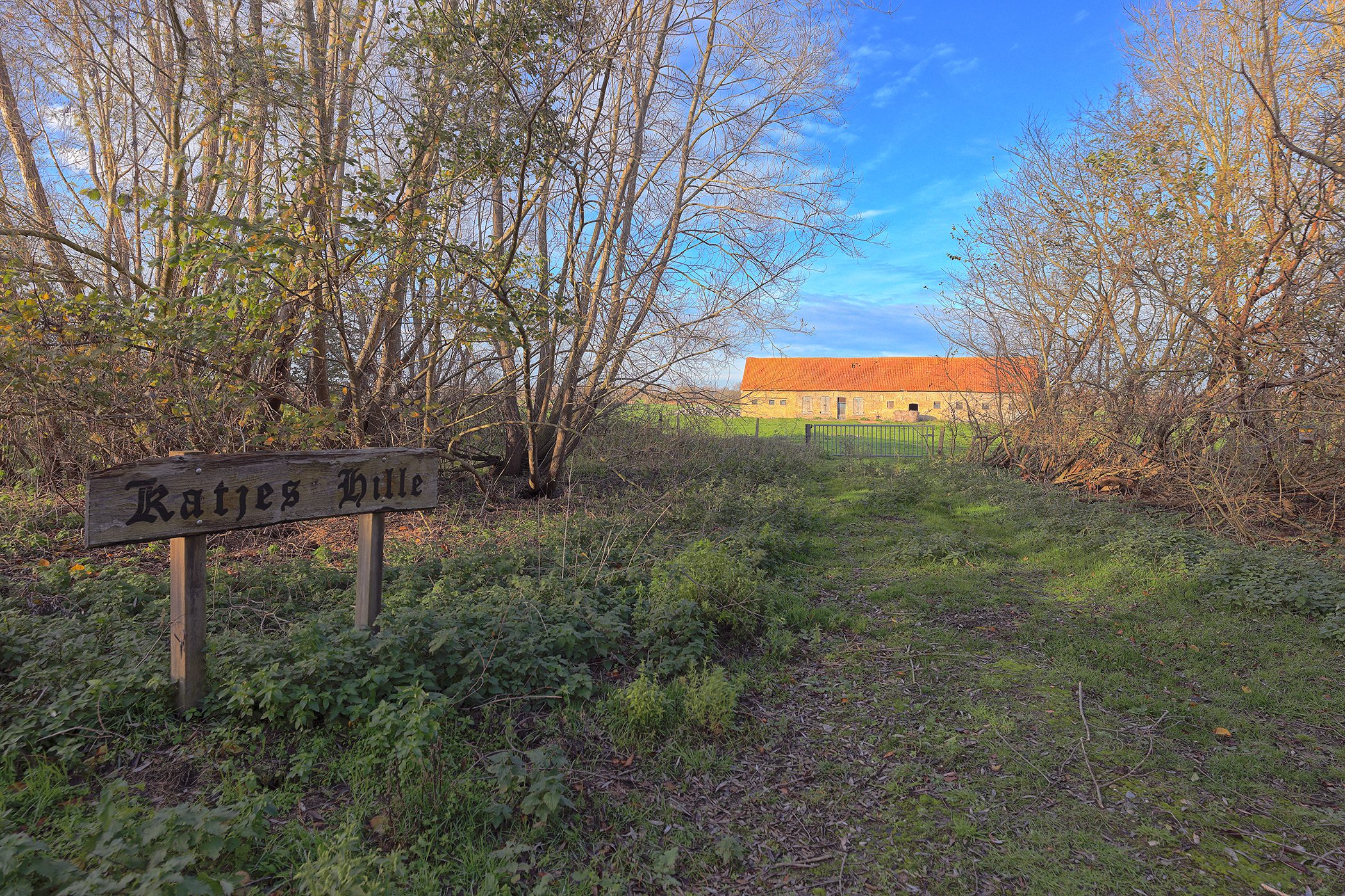
Photos of the old farmstead "Katjes Hille" (Nov. 22, 2025)
This farmstead was already mentioned in the Terrier of 1776(source).
Location of this authentic farmstead: Google Maps
Address: Veldstraat (located between house numbers 97 and 99), Adinkerke, De Panne.
Click on any of the photos below to launch the photo carousel....

Photos of information board at the French fossil dunes (July 2, 2025)

Photos of French Cabour dunes (Aug. 28, 2023)
Location of photos: Google Maps (rue de la Frontière, Gijvelde).
Click on any of the photos below to launch the photo carousel....

Disclaimer: All information presented on top.vlaanderen has been compiled with the utmost care. It is also checked regularly. If you have any comments, errors, additional information, etc... please contact us via our contact form. We are not responsible for possible incorrect or incomplete information.


