Natuurreservaat “De Westhoek” (De Panne, België)
Foto’s – Info – Meteo – Tips – Nieuws – Geo Info –
Algemene info over Natuurreservaat "De Westhoek"
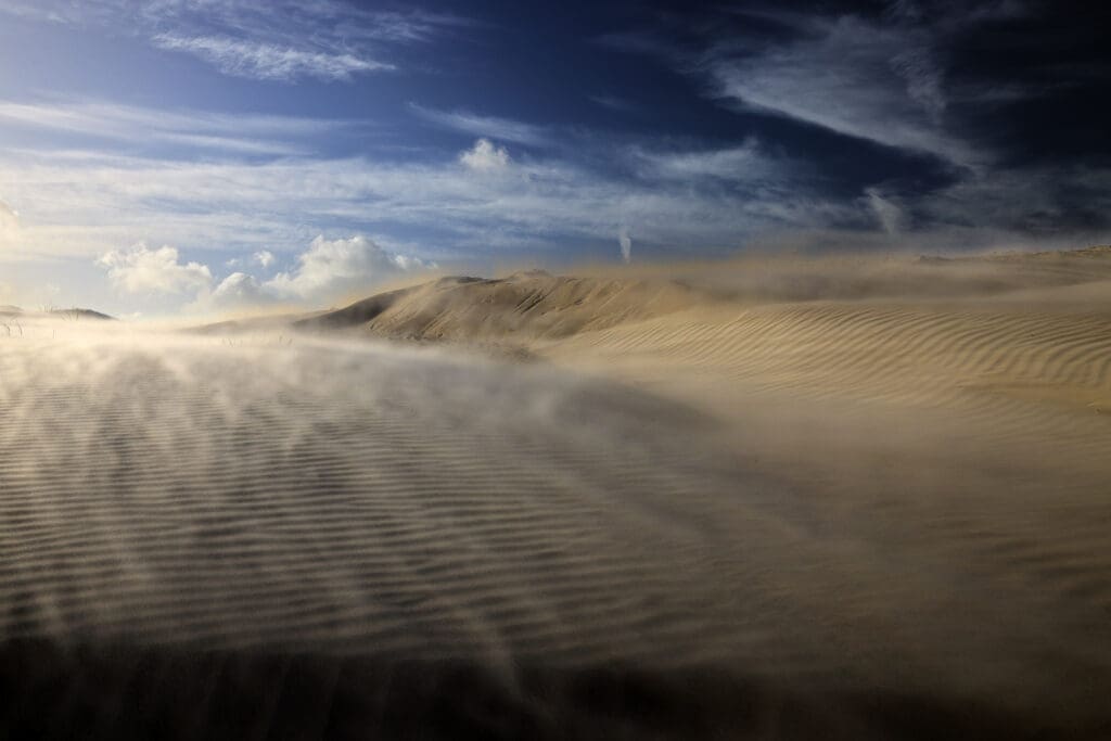
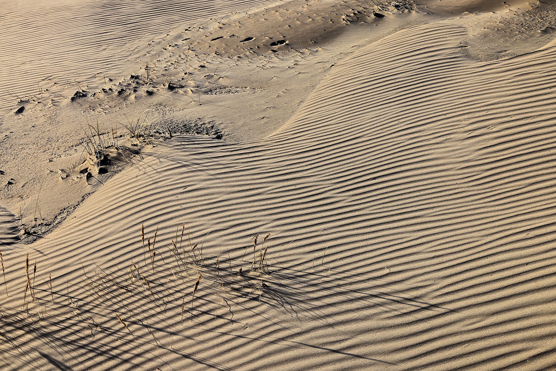
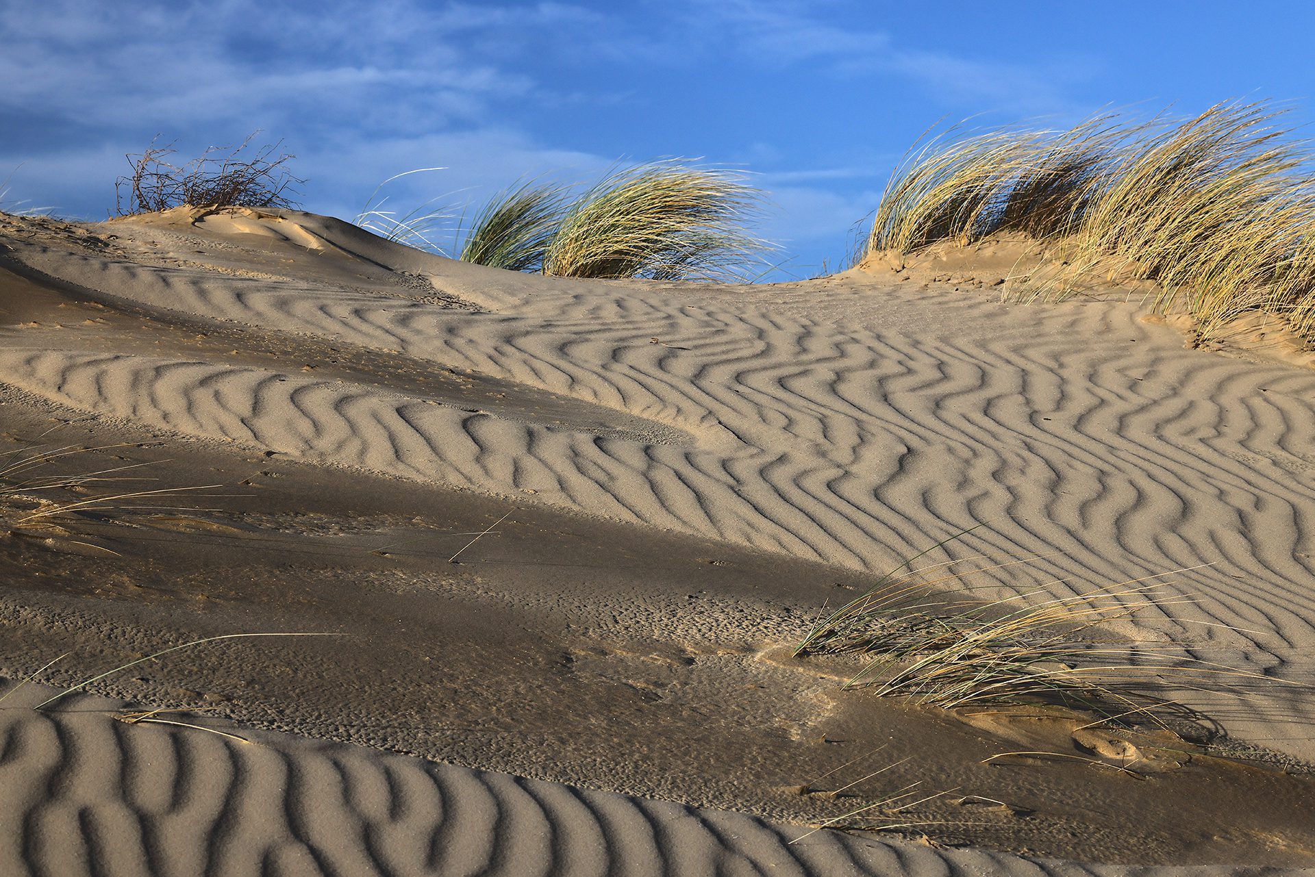
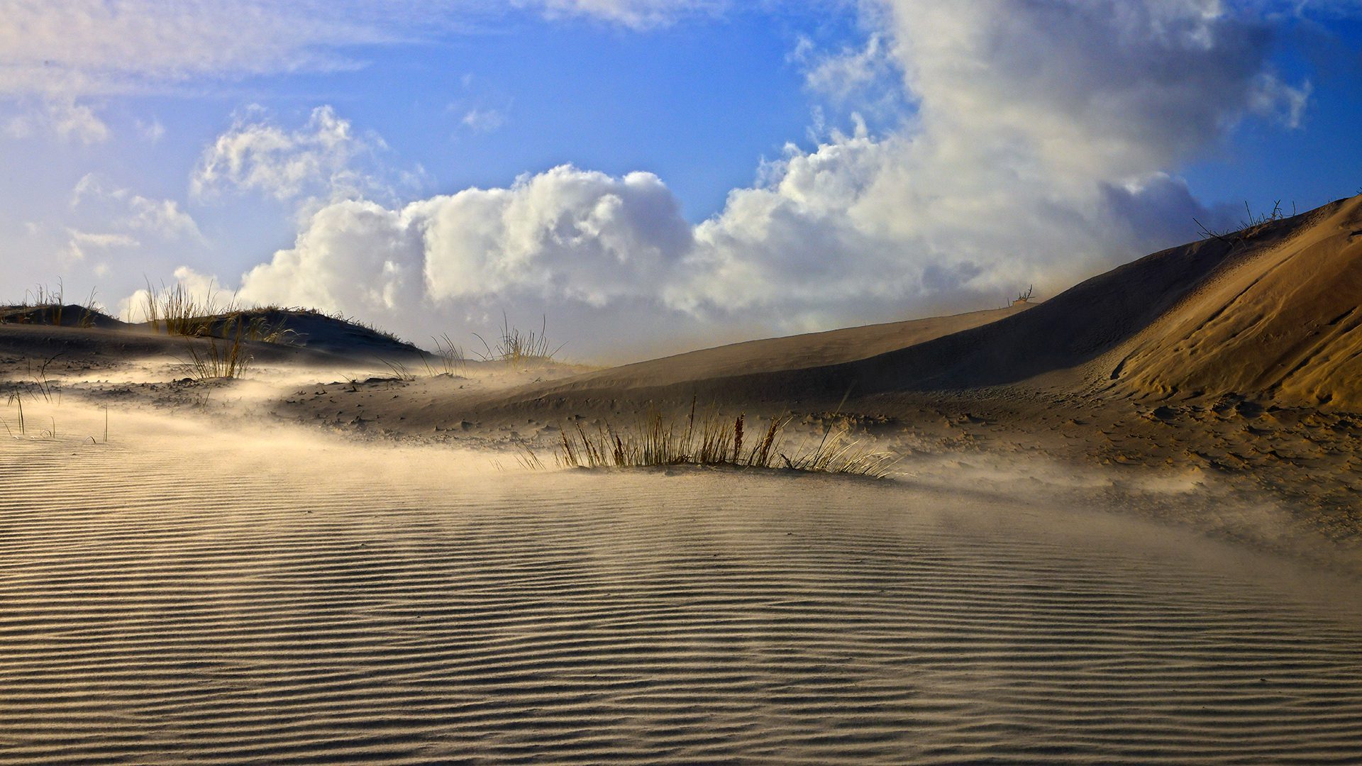
Het duinenreservaat, nu meer algemeen “natuurreservaat” geheten, “De Westhoek” is een échte aanrader: 350 hectare ,mooi heringericht en je kunt er nog enkele authentieke zandduinen zien. Deze zandduinen zijn wel stelselmatig aan het overwoekerd worden door nieuwe begroeiing. Dit is te wijten aan veranderende klimaatfactoren en de afname van het aantal… konijnen., jawel! De Vlaamse overheid, met name het Agentschap Bos & Natuur, namen wel enkele maatregelen om de verzanding opnieuw plaats te doen vinden. Er werden meer dan 400 soorten van planten in kaart gebracht. Dit gebied is zelfs Europees beschermd ( Natura 2000 gebied).
Het gebied, dat al in 1935 als landschap werd beschermd, sluit direct aan aan op het waterwinningsgebied “Krakeelduinen” en het Calmeynbos. Samen vormt dit geheel het grootste aaneensluitend stuk natuur van de Vlaamse kust. Er zijn diverse wandelpaden aangelegd en je kunt makkelijk van het ene gebied naar het andere wandelen. Wil je een goed idee hebben van de totaliteit, voorzie dan maar een halve dag. Dit gebied is tussen zonsopkomst en zonsondergang altijd vrij toegankelijk. Met de getijden van de Zee moet je geen rekening houden want er is geen directe verbinding tussen dit gebied en de Noordzee.
Er zijn drie uitkijkpunten (kijkplatformen) ingericht: ze geven een mooi uitzicht over het gehele natuurgebied… en, jammer genoeg ook, de hoogbouw van De Panne & Plopsaland. Er is één zone die volledig vrij toegankelijk is: een centraal gelegen speelzone. Raadpleeg deze kaart van het natuurreservaat “De Westhoek”. Als je wat geluk hebt kun je er ook Schotse hooglanders en Koninkspaarden spotten.
Nieuwsbrieven
Bezoekerstips
Algemene tips:
1) zoekt U naar andere bezienswaardigheden in de buurt, raadpleeg dan onze Toeristische kaart van Top.Vlaanderen.
2) U kan onze overzichtslijsten raadplegen: per categorie ( bijv. tijdslijn, grootte, …) of per regio
3) U kan ook altijd de lokale toeristische diensten raadplegen :
De Panne, West-Vlaanderen, Vlaanderen, België: | ||||
| Onze info | ||||
| Bovenliggende toeristische regio's: | ||||
| Onze info | ||||
Tip 1: Laat je niet afschrikken door de wind: het verstuivende zand levert meer dan mooie plaatjes op. Bescherm wel je fotoapparatuur in dat geval, want zand kruipt letterlijk overal in. 😉 Neem hiervoor bijvoorbeeld een hermetisch af te sluiten plastieken zak mee.
Tip 2: wist je dat op wandelafstand het Bezoekerscentrum Duinpanne ligt (initiatief van het Provinciebestuur West-Vlaanderen)?
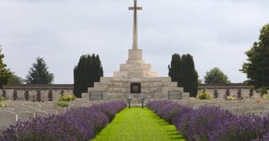
Tip 3: je kunt dit bezoek eventueel combineren met een bezoek aan de Dumontwijk van De Panne of de Houtsaegerduinen.
Tip 4: Dit duinengebied loopt naadloos over in de zogeheten “Les Dunes des Flandre“. Het duinenmassief van het Natuurreservaat “De Westhoek” loopt verder Frankrijk binnen via Bray-Dunes tot in Zuydcoote. Het werd in 2025 erkend als “Grand Site de France”. Je kunt dus eigenlijk via het reservaat gewoon doorwandelen tot in Bray-Dunes en verder.
Tip 5: Naast dit gewone duinengebied heb je in Adinkerke (De Panne) ook nog de zogeheten fossiele duinen. Deze worden de Cabourduinen genoemd. Een bezoek waard: de duinen zijn enkele duizenden jaren oud en er wordt ecologisch begraasd.
Tip 6: Heb je kinderen of ben je in familie, dan kan een bezoek aan Plopsaland natuurlijk ook! Weet dat Plopsaland ‘s avonds feeëriek is verlicht en dat het ook tijdens de wintermaanden ook soms open is. Denk dan bijvoorbeeld aan de Halloween- en Kerstperiodes.
Geografische informatie
Adres: Ligusterpad , 8660 De Panne, West-Vlaanderen, Vlaanderen, België
Geografische coördinaten:
– Google Maps: Latitude = 51.0859607 – Longitude = 2.5644017
– Open Street Maps: Latitude = 51.08533 – Longitude = 2.56454
– Altitude h = 5 m
Aanduiding van Natuurreservaat "De Westhoek" op:
Toeristische kaart van Top.Vlaanderen – Google Maps – OpenStreetMap.
Route naar Natuurreservaat "De Westhoek": Route via Google Maps
Internet informatie over Natuurreservaat "De Westhoek"
Aanduiding van het Provinciaal bezoekerscentrum “Duinpanne” op Google Maps.
Webstek van Agentschap Natuur & Bos.
Info in Wikipedia.
Dienst voor Toerisme “Visit De Panne”
Website – Facebook – Instagram – ![]() YouTube
YouTube
Toerisme “De Kust (Westtoer)
Website – Facebook – Instagram – ![]() YouTube
YouTube
Onze foto’s over Natuurreservaat "De Westhoek"
Onze foto’s, video’s, … zijn allen (c) 2004-2026, Top.Vlaanderen, België. Ze mogen niet “zomaar” worden overgenomen of gebruikt. Wil je ze gebruiken voor een of ander project, contacteer ons vooraf en we kijken hoe we kunnen samenwerken. Wil U uw eigen toeristische attractie, B&B, vakantiewoning… laten fotograferen door ons, dat kan ook. Neem hiervoor contact met ons op via ons Contactformulier .
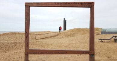
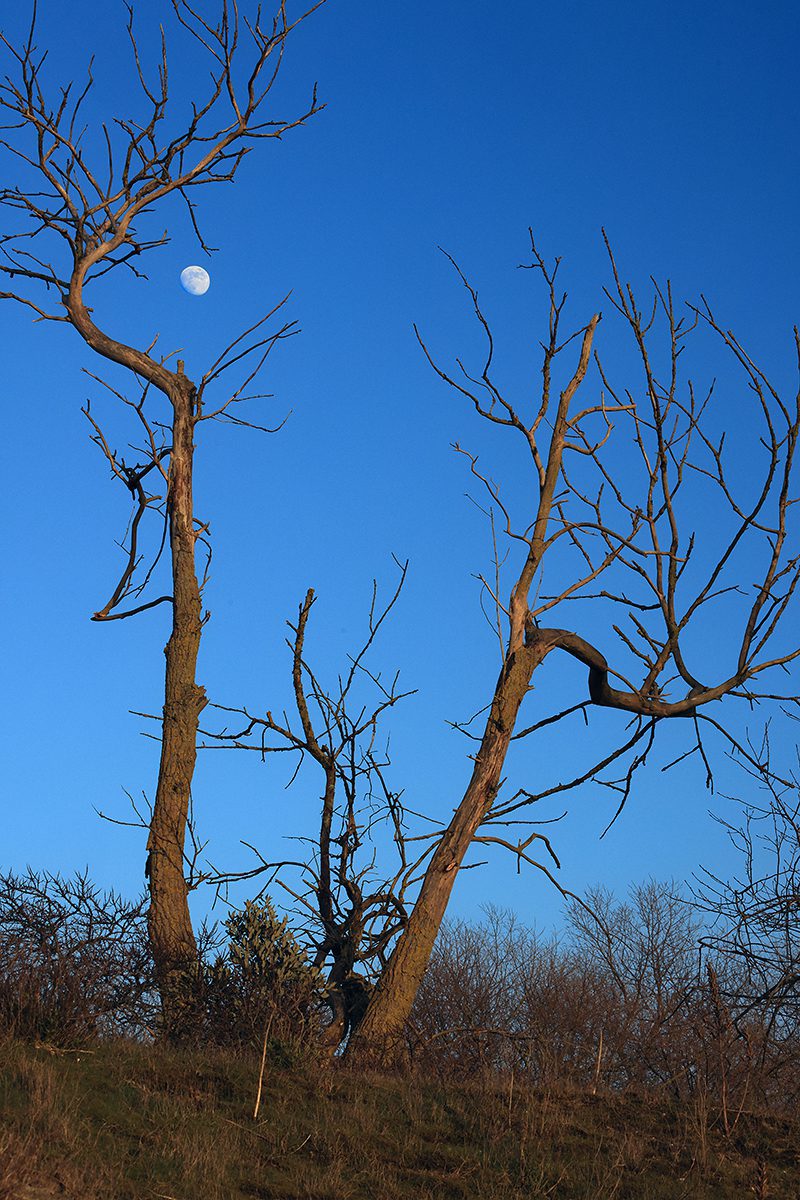
Foto’s van 22 januari 2024 (stormachtige dag)
Klik op een van de onderstaande foto’s om de fotocarrousel op te starten…


Sferische 360° foto’s
Wil U weten hoe zo’n sferische 360° foto wordt gemaakt, bekijk dan onze speciale pagina ter zake: “Het maken van een sferische 360° foto“.
360° foto’s van 15 mei 2020:
- 360° foto van één van de twee uitkijkpunten (15 mei 2020)
- 360° foto (15 mei 2020)
- 360° foto (15 mei 2020)
- 360° foto (15 mei 2020)
Disclaimer: Alle informatie die op top.vlaanderen wordt gepresenteerd werd met de grootste zorg samengesteld. Ze wordt ook regelmatig nagezien. Indien U opmerkingen heeft, fouten ziet, aanvullende informatie hebt, enzovoort… contacteer ons dan via ons contactformulier. Wij zijn niet verantwoordelijk voor mogelijks foutieve of onvolledige informatie.