Overstromingsgebied van de IJzer
Foto’s – Info – Meteo – Tips – Nieuws – Geo Info –
Algemene info over Overstromingsgebied van de IJzer
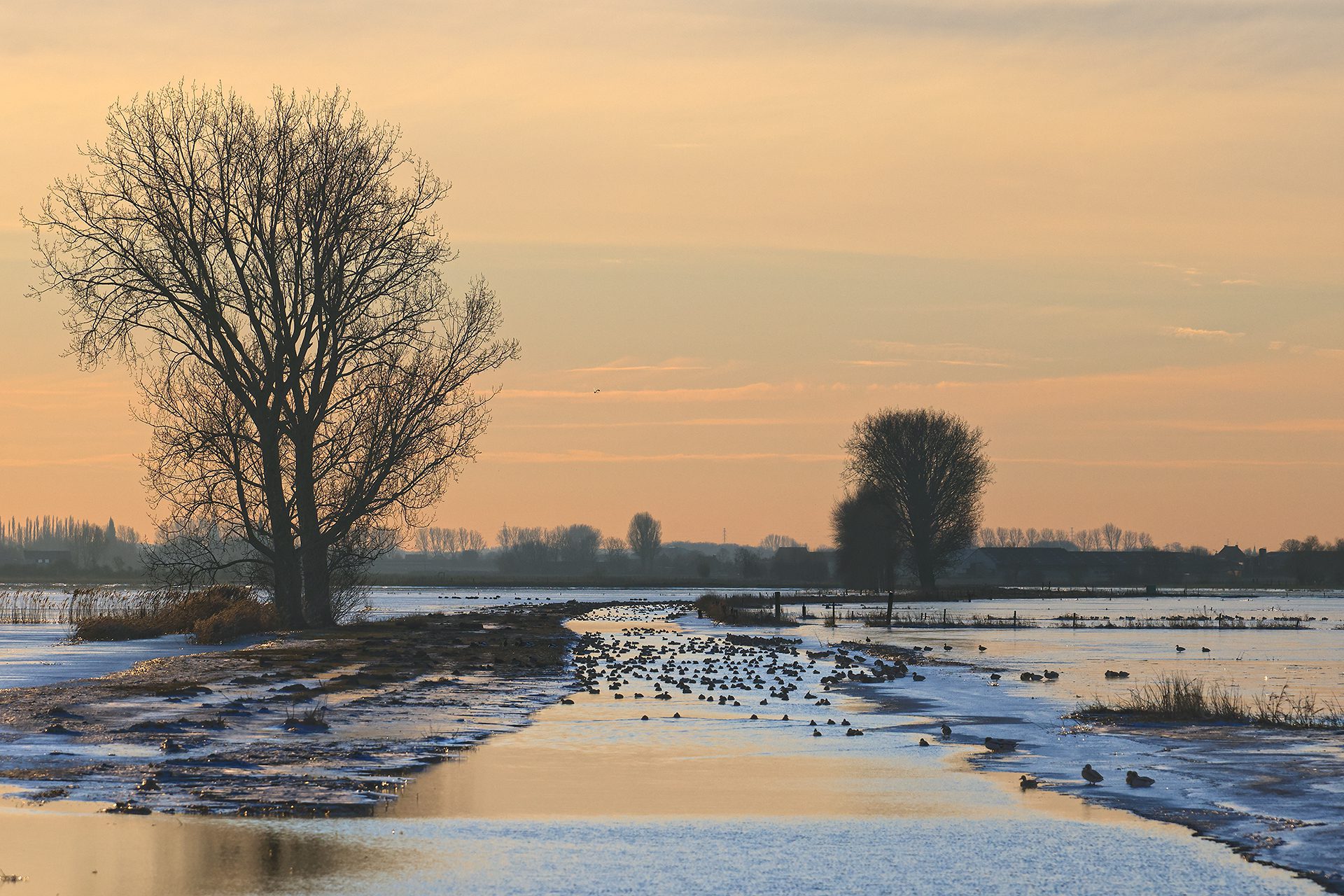
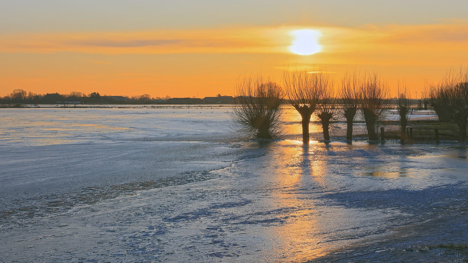
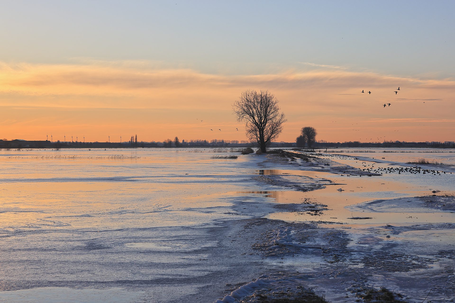
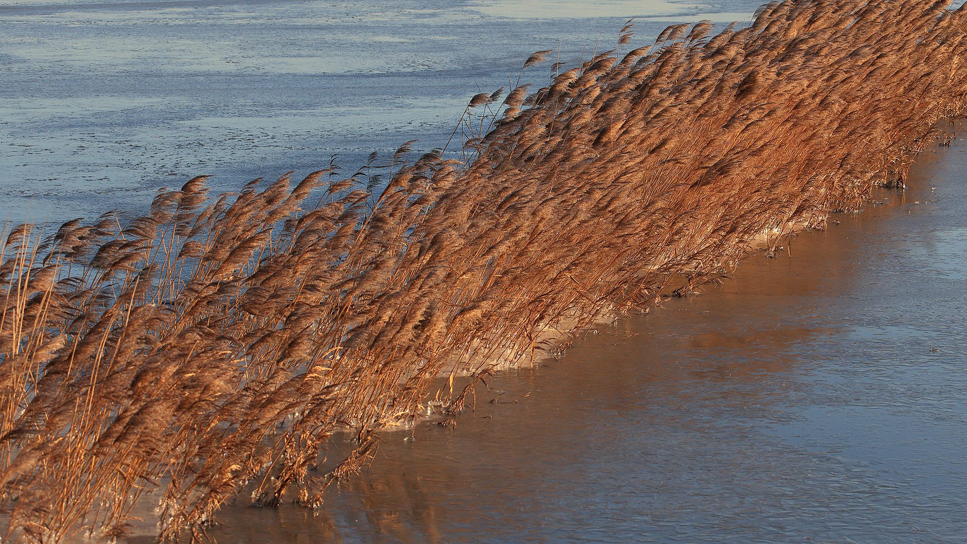
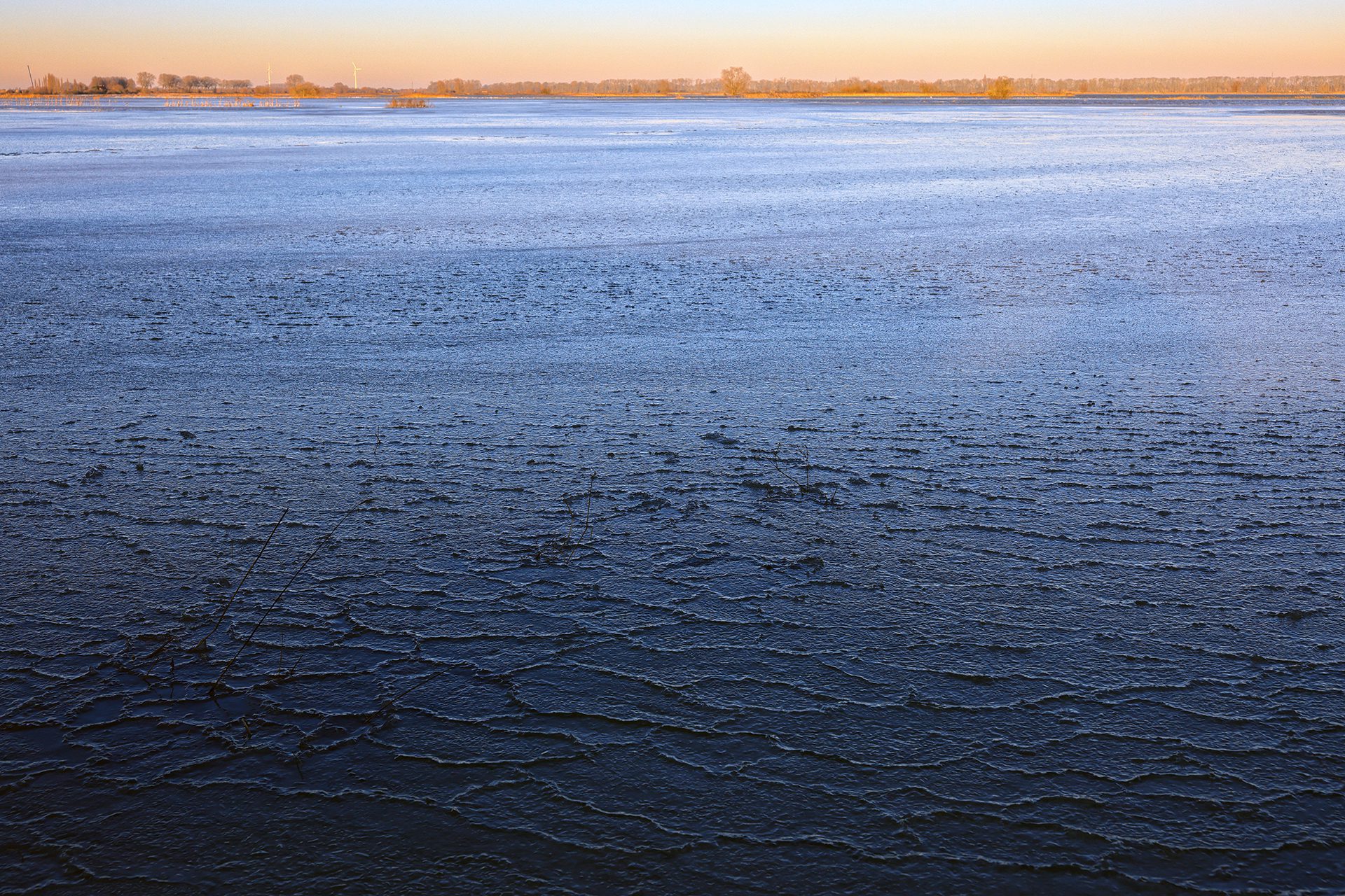
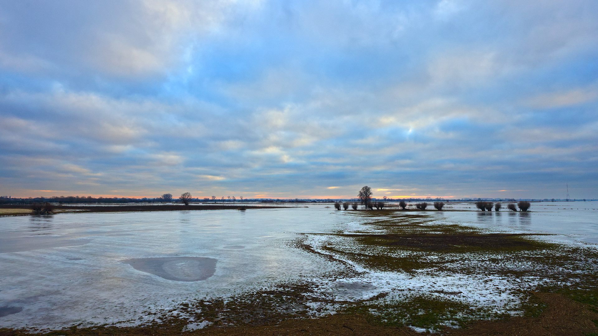
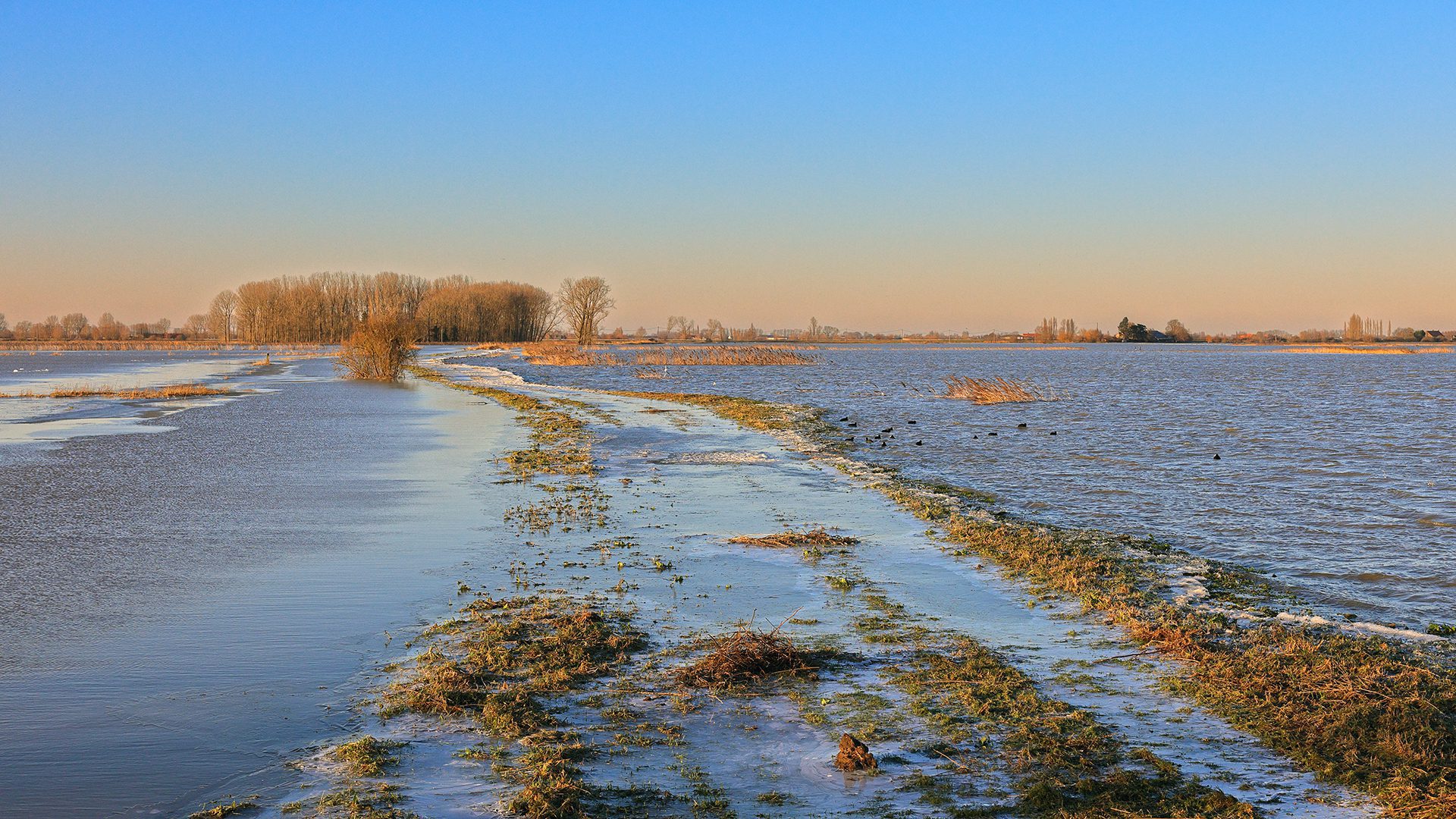
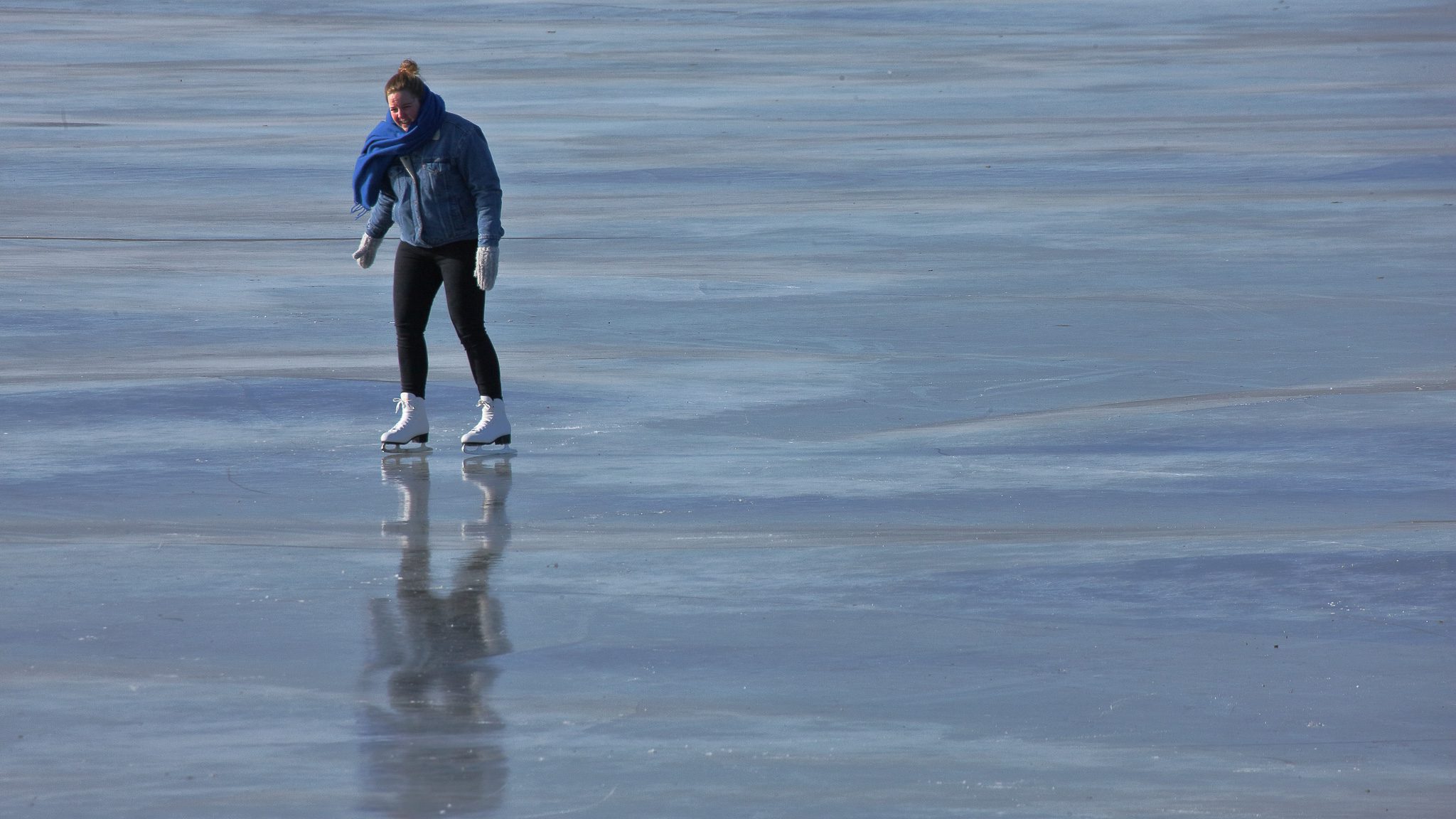
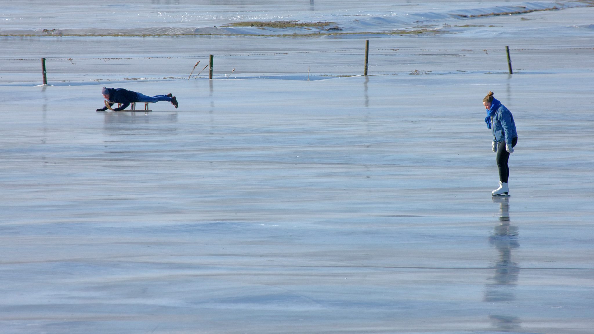
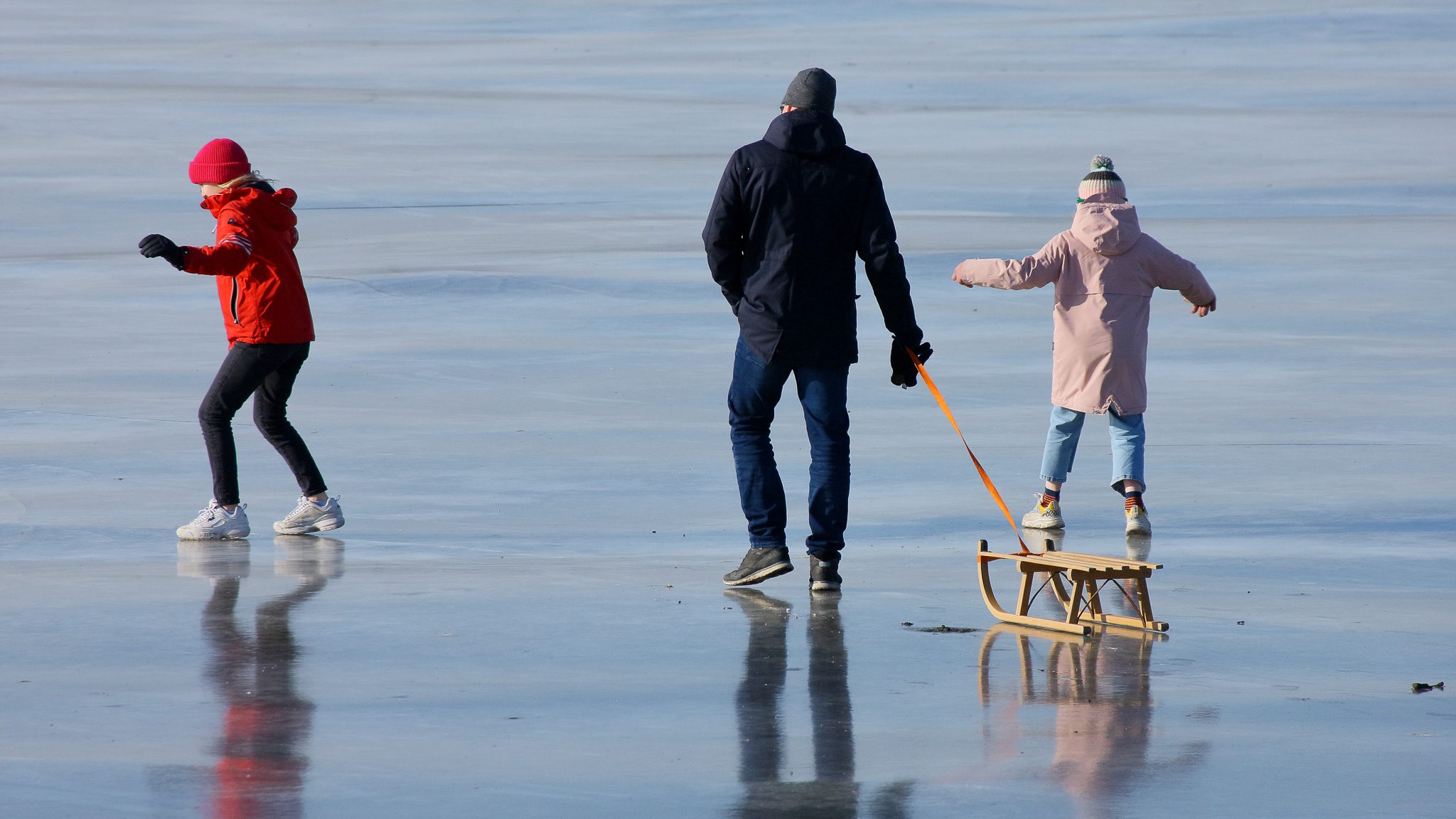
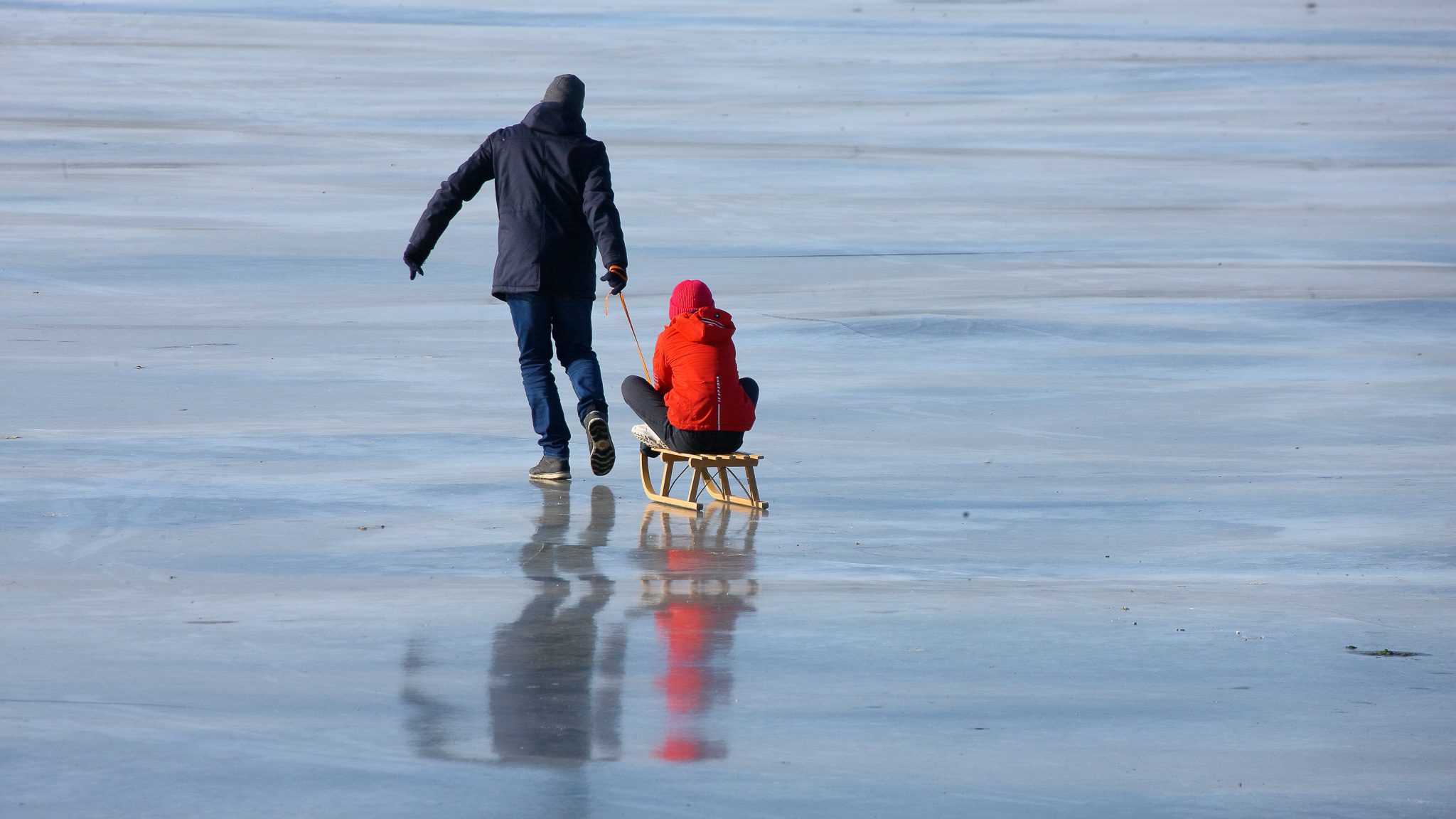
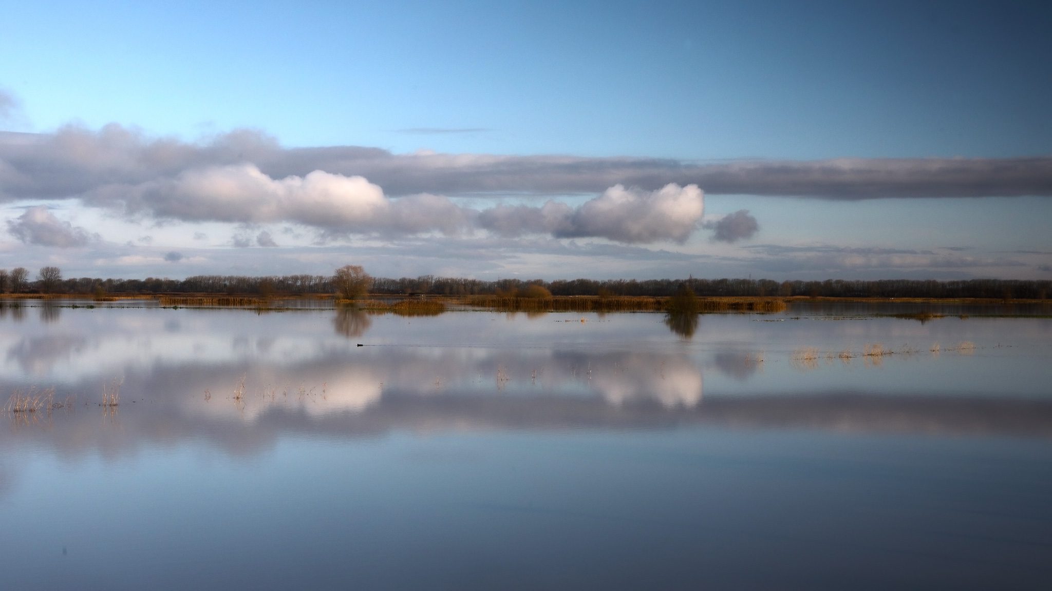
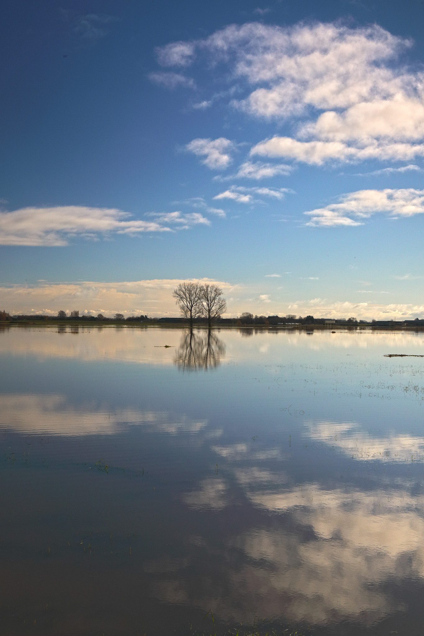
Op regelmatige tijdstippen treedt de Ijzer buiten haar oevers. Het is dan interessant om te toeren in het overstromingsgebied van de IJzer. Als het dan nog eens enkele dagen vriest kun je er prachtige winterlandschappen fotograferen of… zelfs schaatsers! Uitkijkpunten zijn de weides tussen Noordschote en Reninge, Roesbrugge en de brug over de Ijzer nabij Elzendamme.
Nieuwsbrieven
Bezoekerstips
Algemene tips:
1) zoekt U naar andere bezienswaardigheden in de buurt, raadpleeg dan onze Toeristische kaart van Top.Vlaanderen.
2) U kan onze overzichtslijsten raadplegen: per categorie ( bijv. tijdslijn, grootte, …) of per regio
3) U kan ook altijd de lokale toeristische diensten raadplegen :
Hoogstade, West-Vlaanderen, Vlaanderen, België: | ||||
| Onze info | ||||
| Bovenliggende toeristische regio's: | ||||
| Onze info | ||||
Tip 1: watersnood kan tot gevaarlijke situaties leiden. Breng je medemens, jezelf en de dieren niet nodeloos in gevaar. Ramptoerisme hoeft niet persé als “slecht” te worden bestempeld, maar zorg er altijd voor dat je noch de lokale bewoners noch de hulpdiensten hindert of tot last bent.
Tip 2: wil je een mooi uitzicht over de Ijzer, dan kun je ook bijvoorbeeld terecht in “De dodengang” te Diksmuide. Zij hebben een waarnemingsplatform.
Geografische informatie
Adres: Vleterenstraat , 8690 Hoogstade, West-Vlaanderen, Vlaanderen, België
Geografische coördinaten:
– Google Maps: Latitude = 50.9496957 – Longitude = 2.7218043
– Open Street Maps: Latitude = 50.949723 – Longitude = 2.719646
– Altitude h = 2 m
Aanduiding van Overstromingsgebied van de IJzer op:
Toeristische kaart van Top.Vlaanderen – Google Maps – OpenStreetMap.
Route naar Overstromingsgebied van de IJzer: Route via Google Maps
Aanduiding van Noordschote – Reninge op Google Maps.
Aanduiding van de brug over de IJzer te Elzendamme / Oostvleteren op Google Maps.
Aanduiding van Roesbrugge op Google Maps: Uitkijkpost Dode Ijzer.
Meteo

| Day | Condition | Temperature | Precipitation | Rain Chance | Wind | Humidity | Pressure |
|---|---|---|---|---|---|---|---|
|
Today
21:00
|
|
20° | 22°°C | 0.6 mm | 60% | 16 Km/h | 83 % | 1018 mb |
|
Tomorrow
21:00
|
|
8° | 25°°C | 0.81 mm | 81% | 28 Km/h | 89 % | 1022 mb |
|
zo jun 26
21:00
|
|
15° | 19°°C | 0 mm | 0% | 23 Km/h | 77 % | 1026 mb |
|
ma jun 26
21:00
|
|
14° | 20°°C | 0 mm | 0% | 20 Km/h | 80 % | 1025 mb |
|
di jun 26
21:00
|
|
15° | 21°°C | 0 mm | 0% | 16 Km/h | 81 % | 1025 mb |
| Hour | Condition | Temperature | Precipitation | Rain Chance | Wind | Humidity | Pressure |
|---|---|---|---|---|---|---|---|
|
Today
00:00
|
|
18° | 21°°C | 0 mm | 0% | 15 Km/h | 74 % | 1017 mb |
|
Today
03:00
|
|
11° | 18°°C | 0.6 mm | 60% | 16 Km/h | 79 % | 1017 mb |
|
Today
06:00
|
|
22° | 22°°C | 0.25 mm | 25% | 7 Km/h | 83 % | 1018 mb |
|
Today
09:00
|
|
25° | 25°°C | 0 mm | 0% | 14 Km/h | 75 % | 1017 mb |
|
Today
12:00
|
|
26° | 26°°C | 0.2 mm | 20% | 16 Km/h | 69 % | 1018 mb |
|
Today
15:00
|
|
25° | 25°°C | 0 mm | 0% | 16 Km/h | 63 % | 1016 mb |
|
Today
18:00
|
|
23° | 23°°C | 0.2 mm | 20% | 14 Km/h | 69 % | 1015 mb |
|
Today
21:00
|
|
20° | 20°°C | 0.36 mm | 36% | 8 Km/h | 76 % | 1017 mb |
Internet informatie over Overstromingsgebied van de IJzer
Wikipedia pagina over De IJzer ( NL – Fr – EN ).
Dienst voor Toerisme Poperinge
Website
Dienst voor Toerisme Vleteren
Website
Toerisme Westhoek (Westtoer)
Website – Facebook – Instagram
Onze foto’s over Overstromingsgebied van de IJzer
Onze foto’s, video’s, … zijn allen (c) 2004-2026, Top.Vlaanderen, België. Ze mogen niet “zomaar” worden overgenomen of gebruikt. Wil je ze gebruiken voor een of ander project, contacteer ons vooraf en we kijken hoe we kunnen samenwerken. Wil U uw eigen toeristische attractie, B&B, vakantiewoning… laten fotograferen door ons, dat kan ook. Neem hiervoor contact met ons op via ons Contactformulier .
360° foto februari 2021 – ijsvlakte met schaatsers te Noordschote / Reninge
Sferische 360° foto’s
Wil U weten hoe zo’n sferische 360° foto wordt gemaakt, bekijk dan onze speciale pagina ter zake: “Het maken van een sferische 360° foto“.
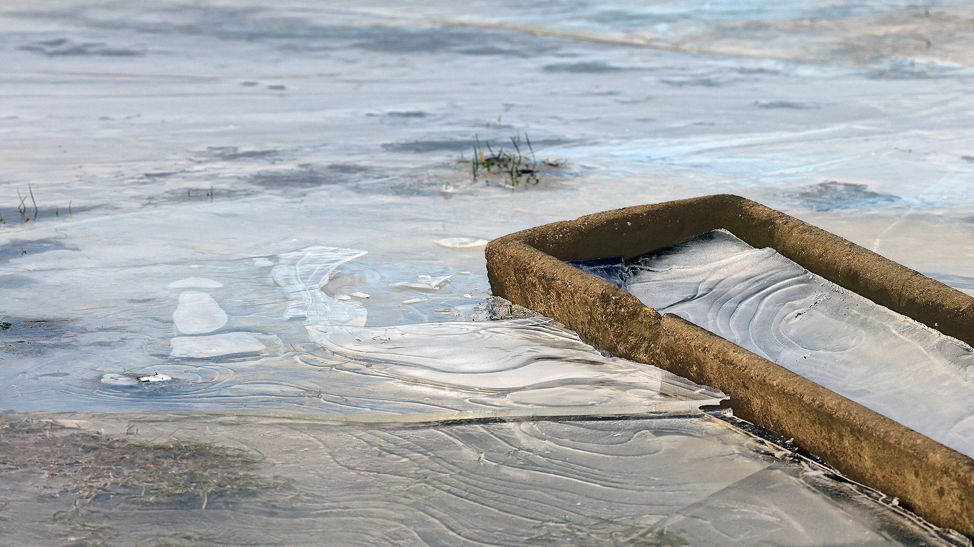
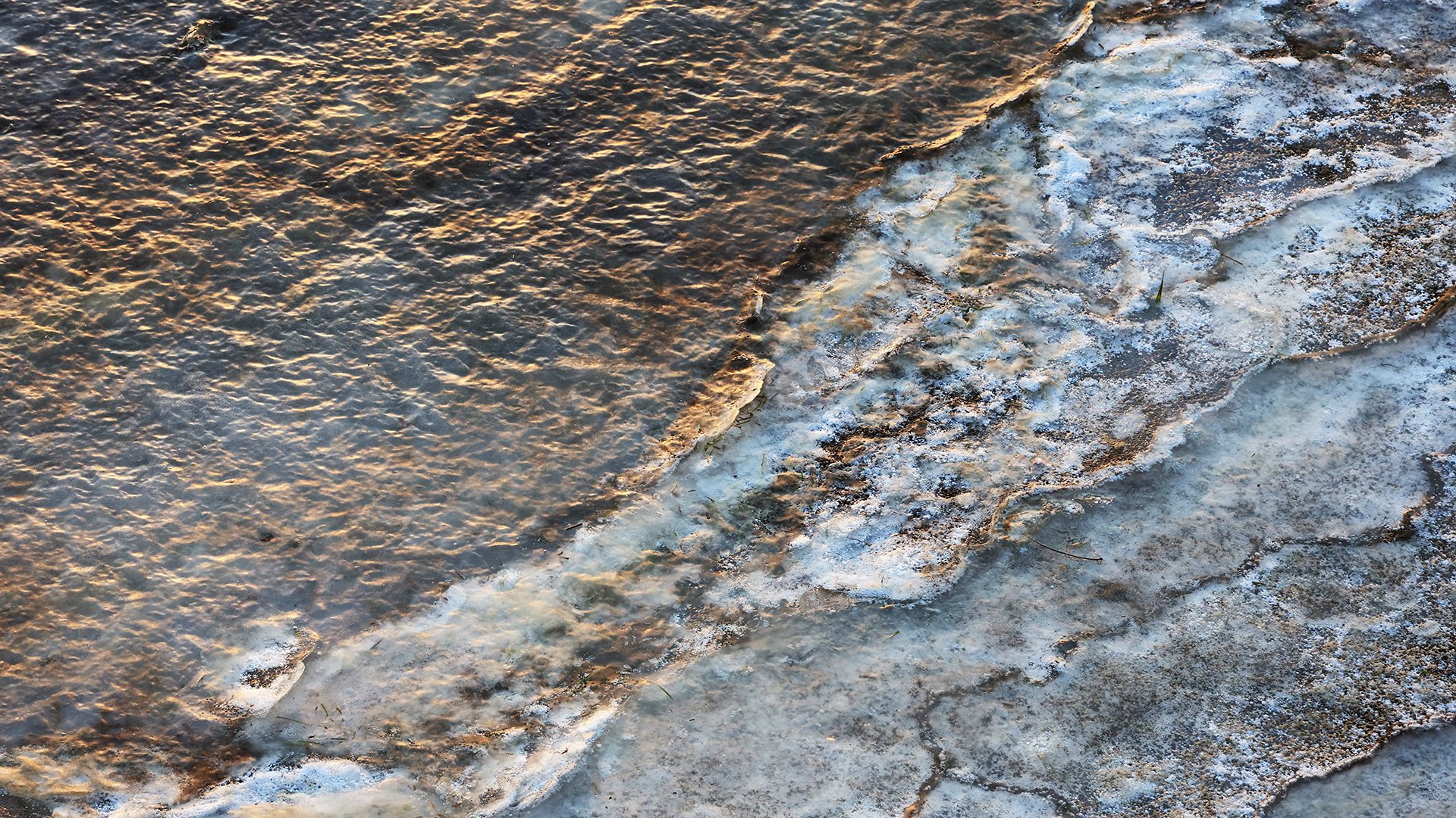
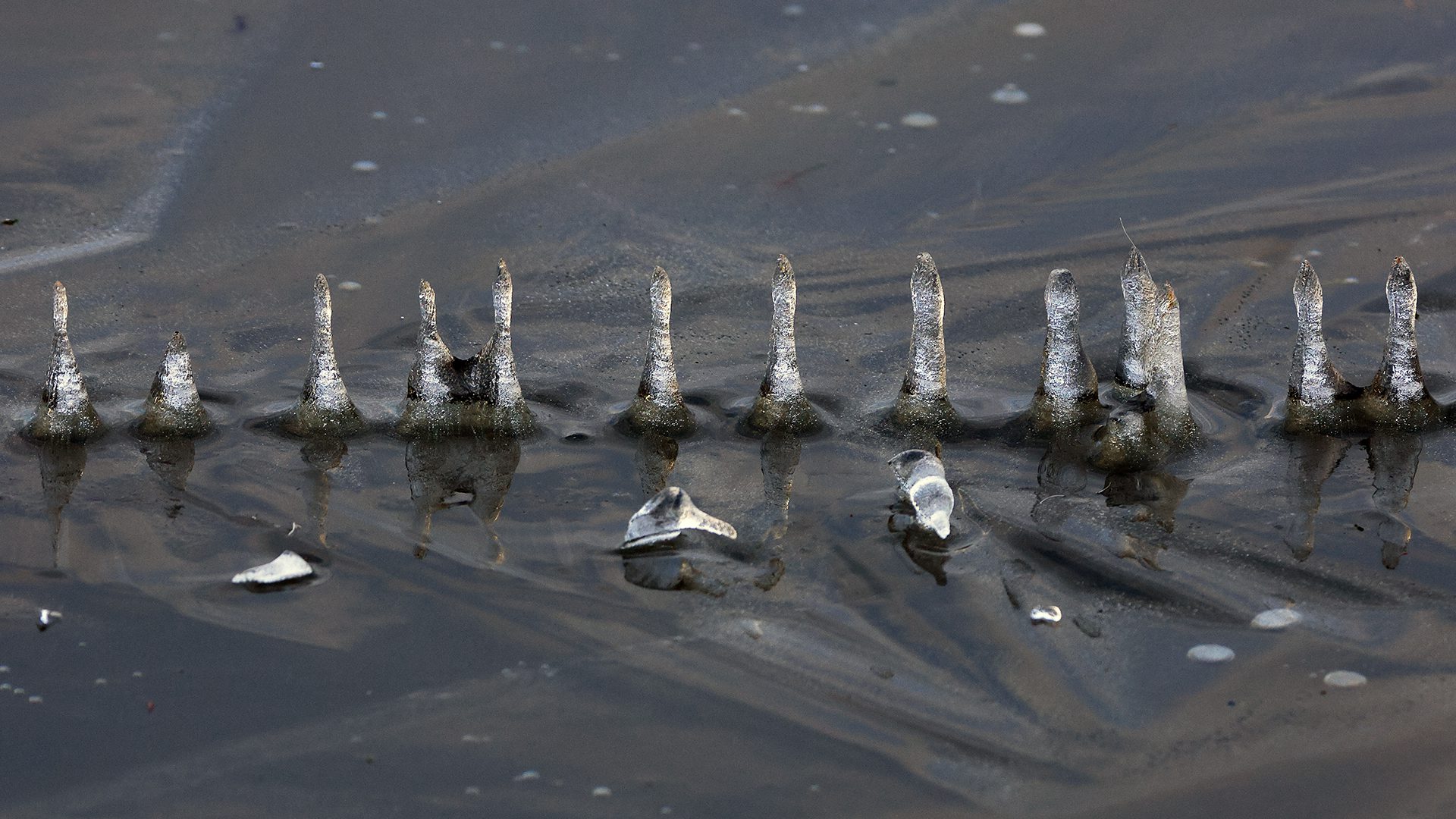
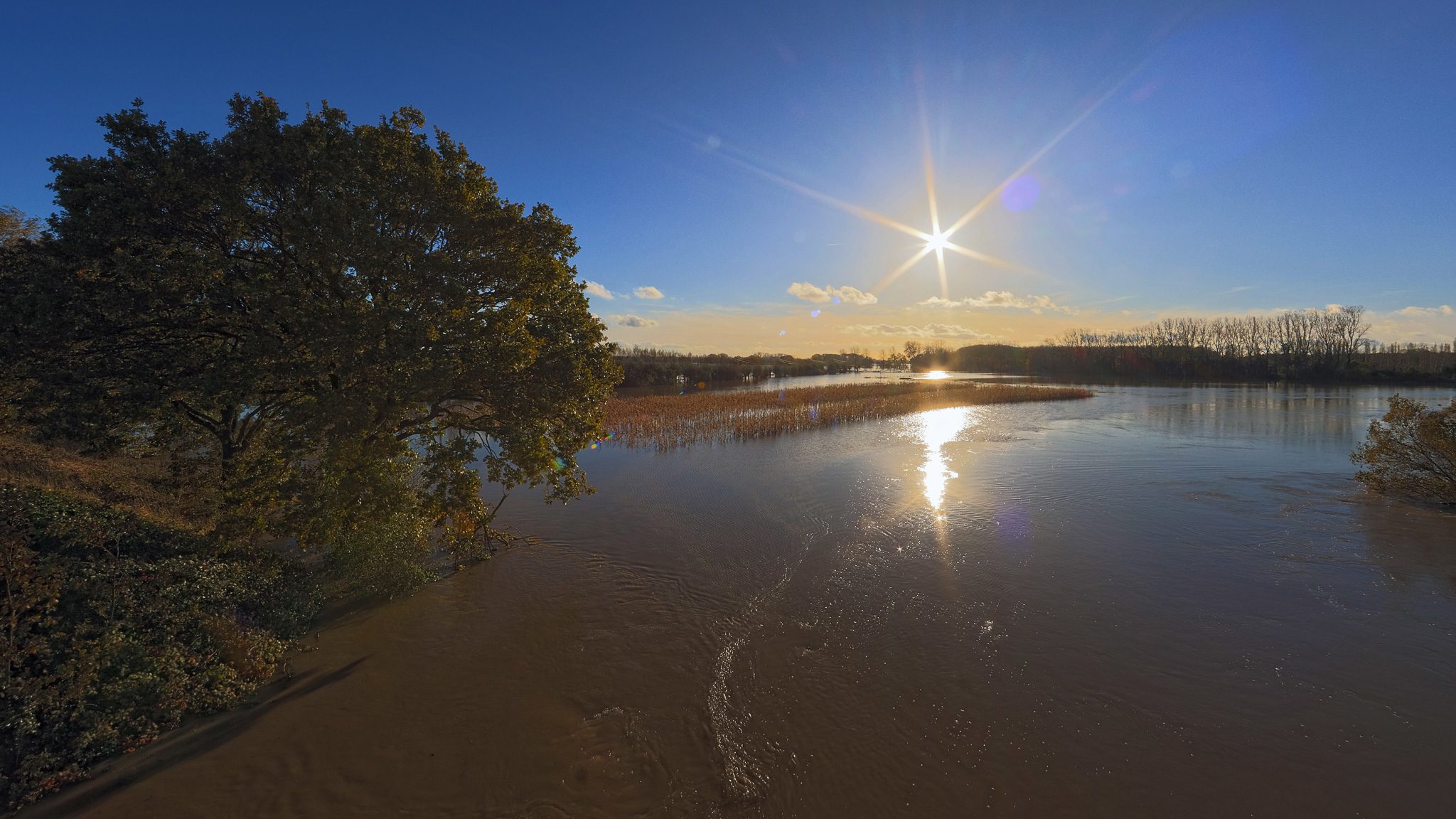
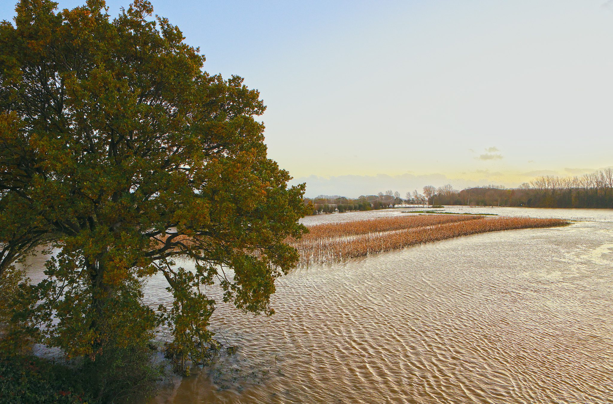
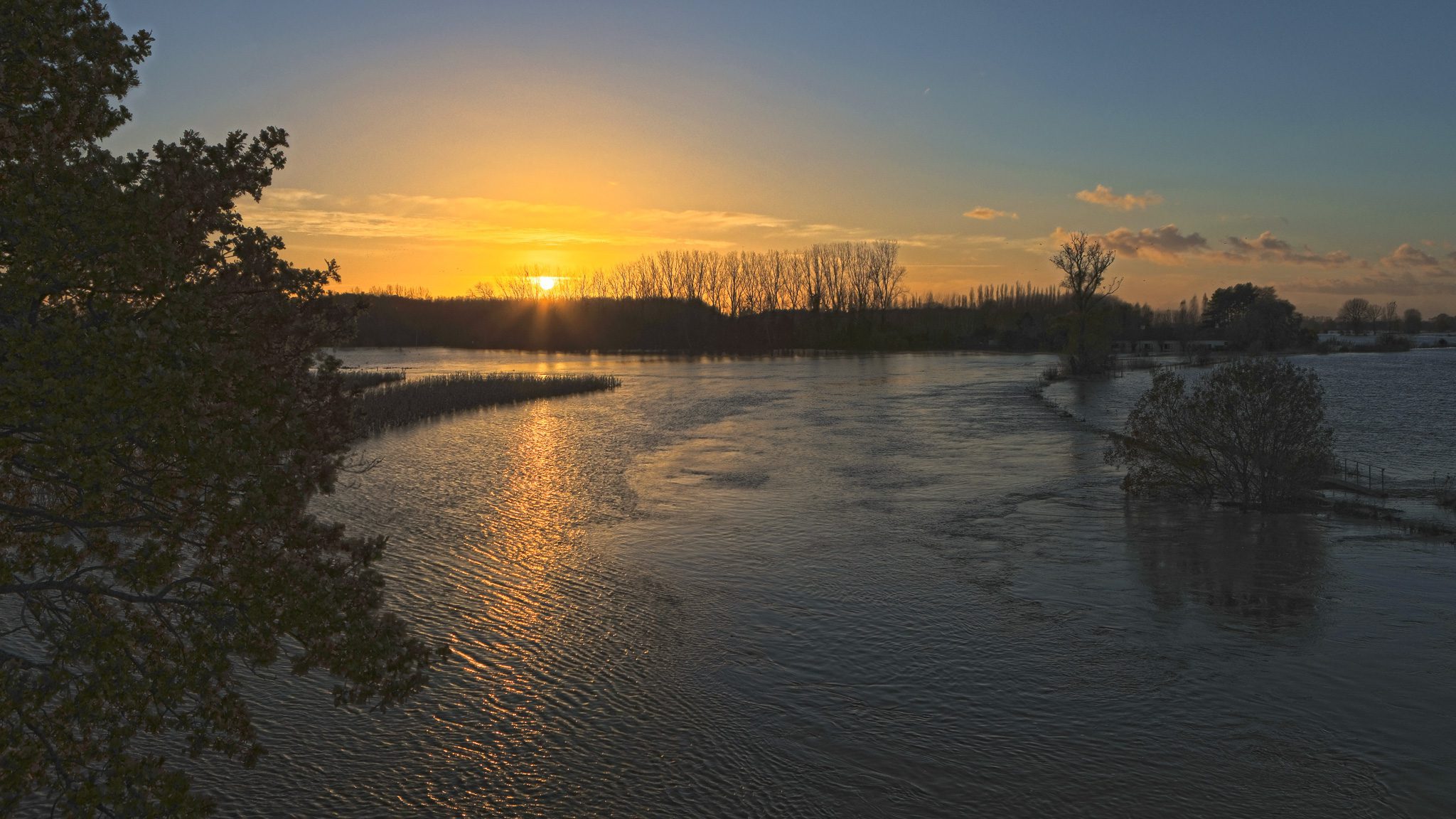
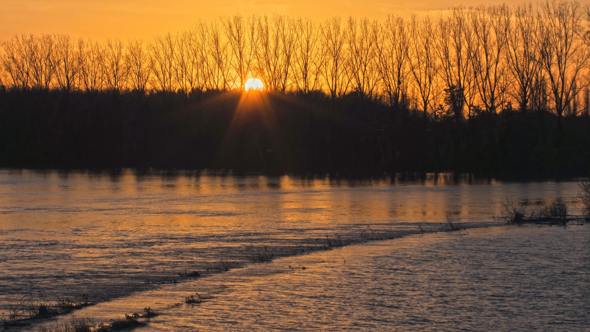
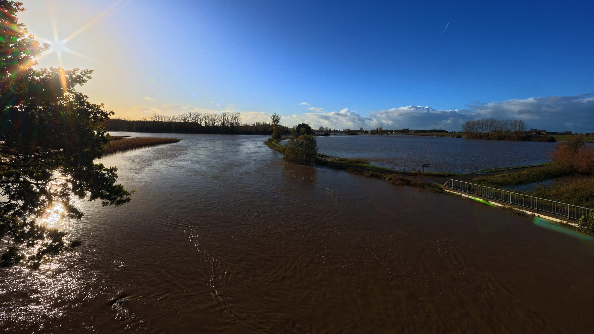
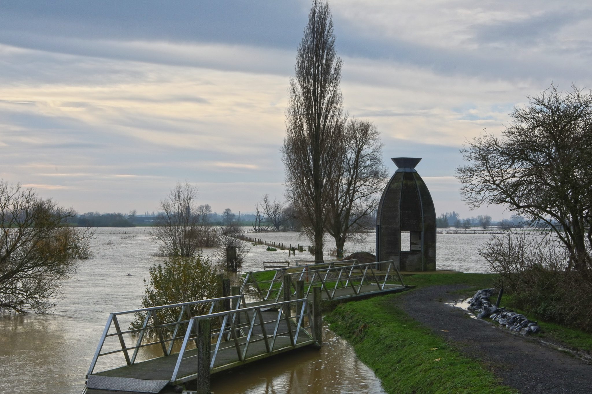
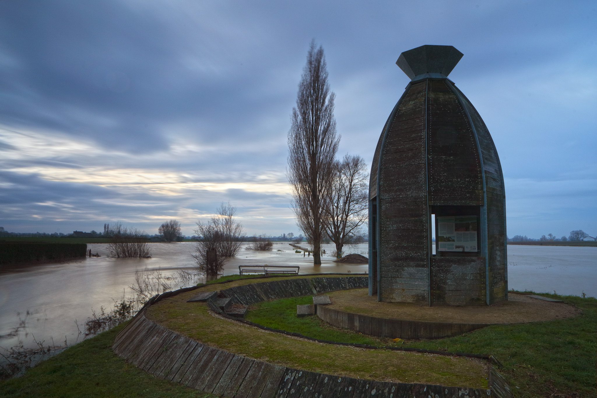
Foto’s genomen op 12 januari 2026 (nabij de brug over de IJzer in Oostvleteren):
Klik op een van de onderstaande foto’s om de fotocarrousel op te starten…


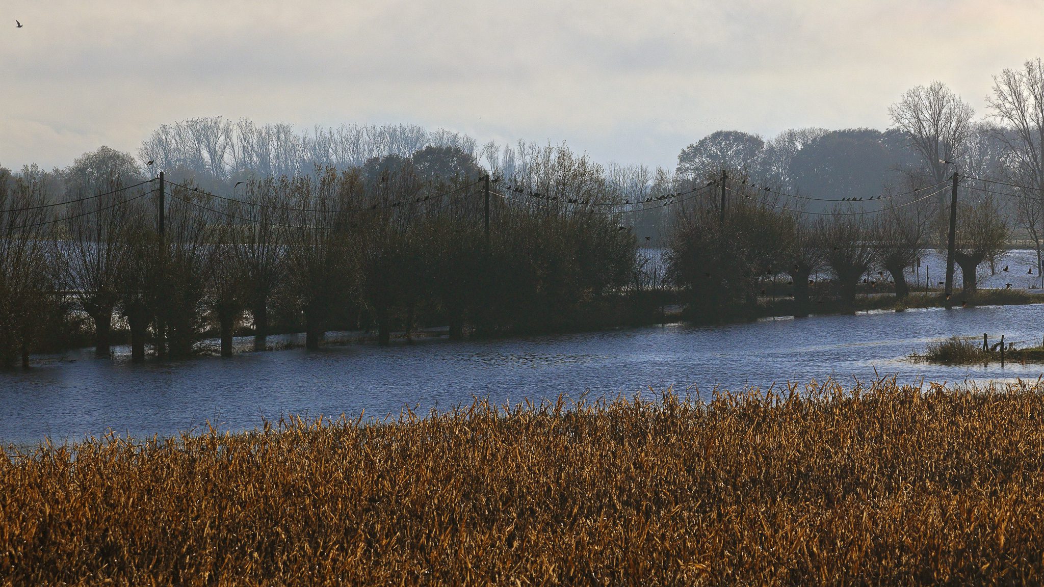
Foto’s 9-10-11 Januari 2024 – Noordschote & Reninge
Klik op een van de onderstaande foto’s om de fotocarrousel op te starten…
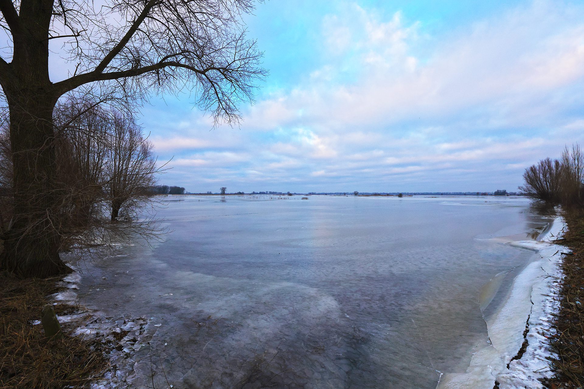
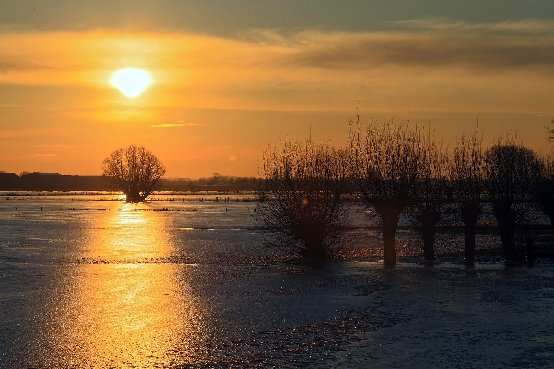
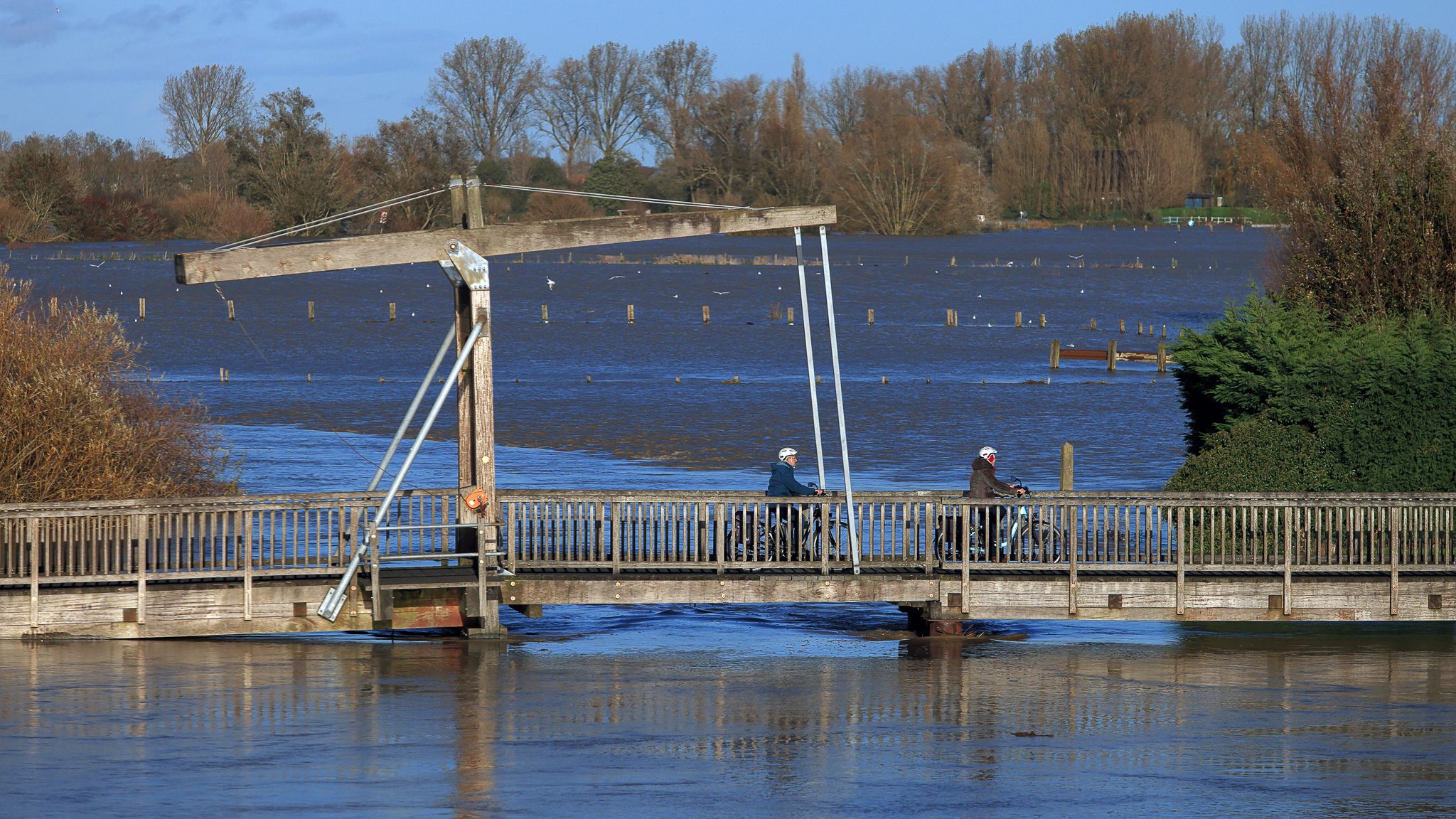
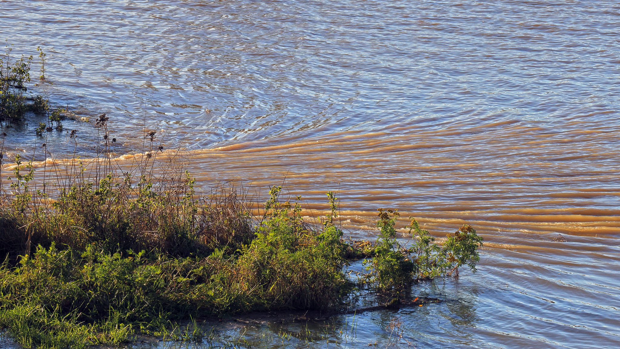
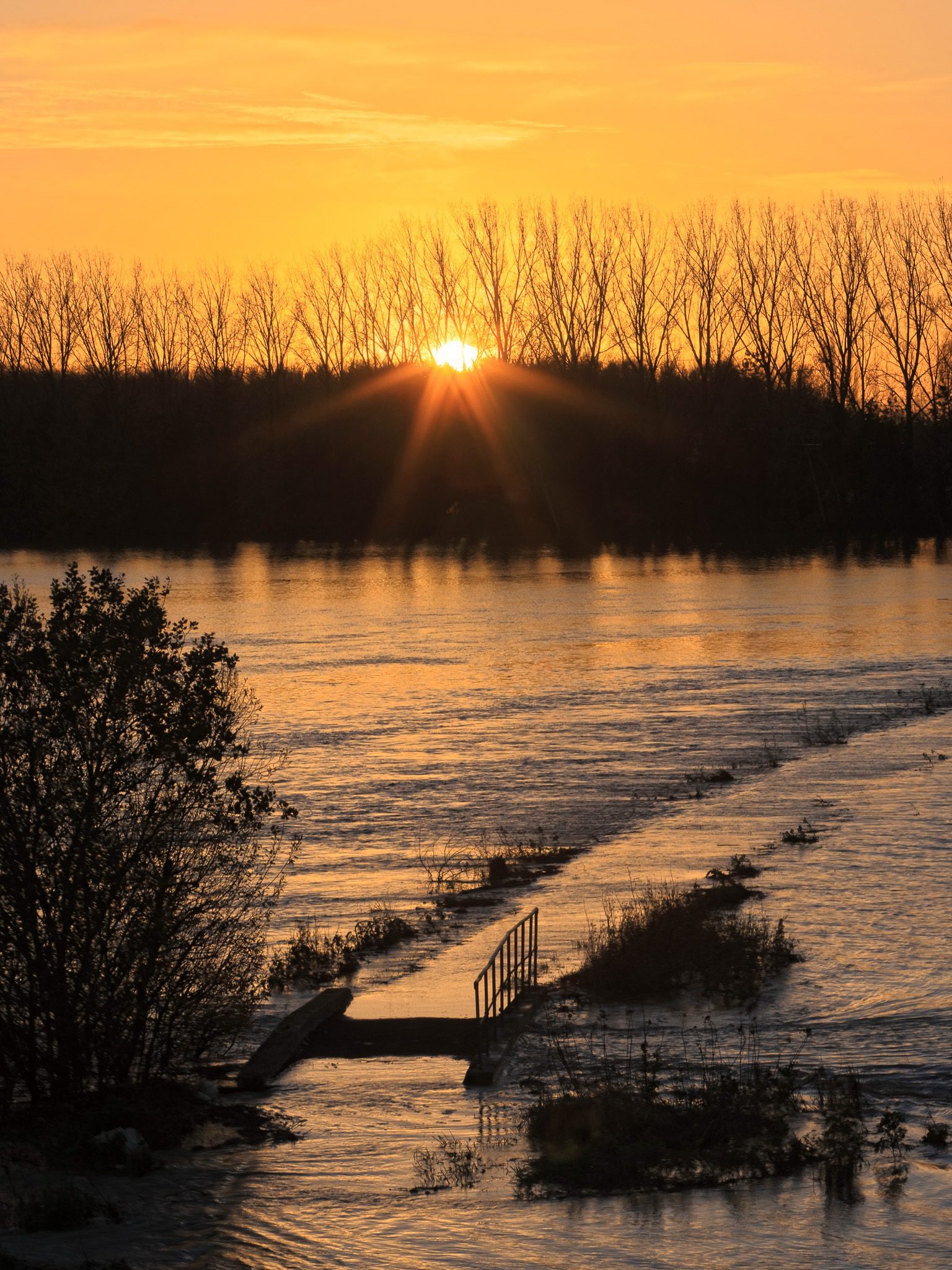
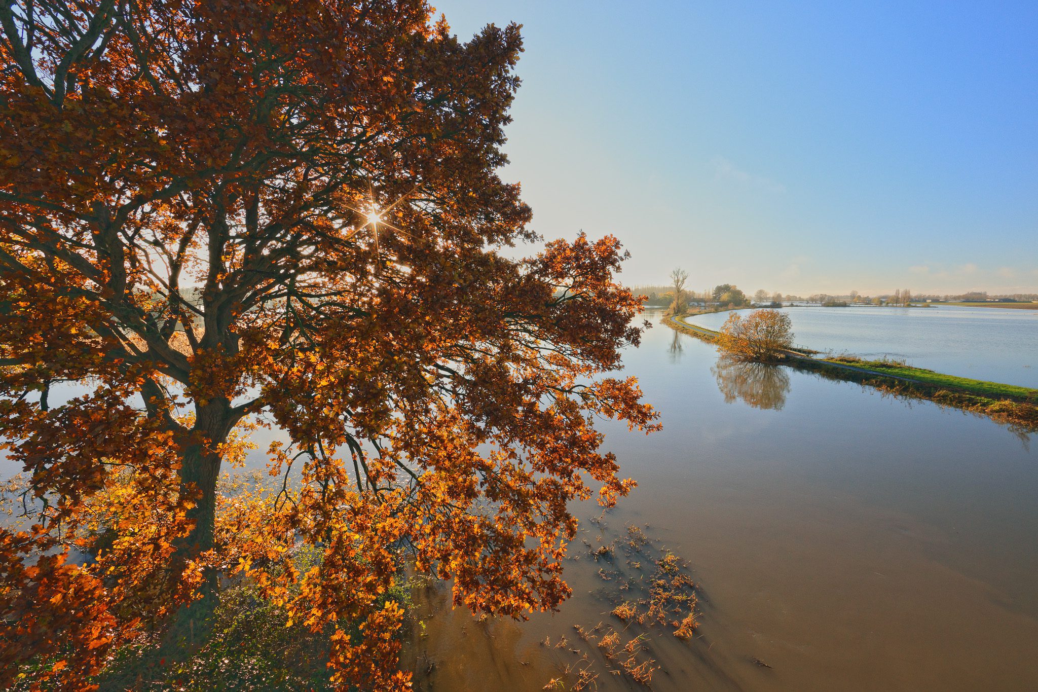
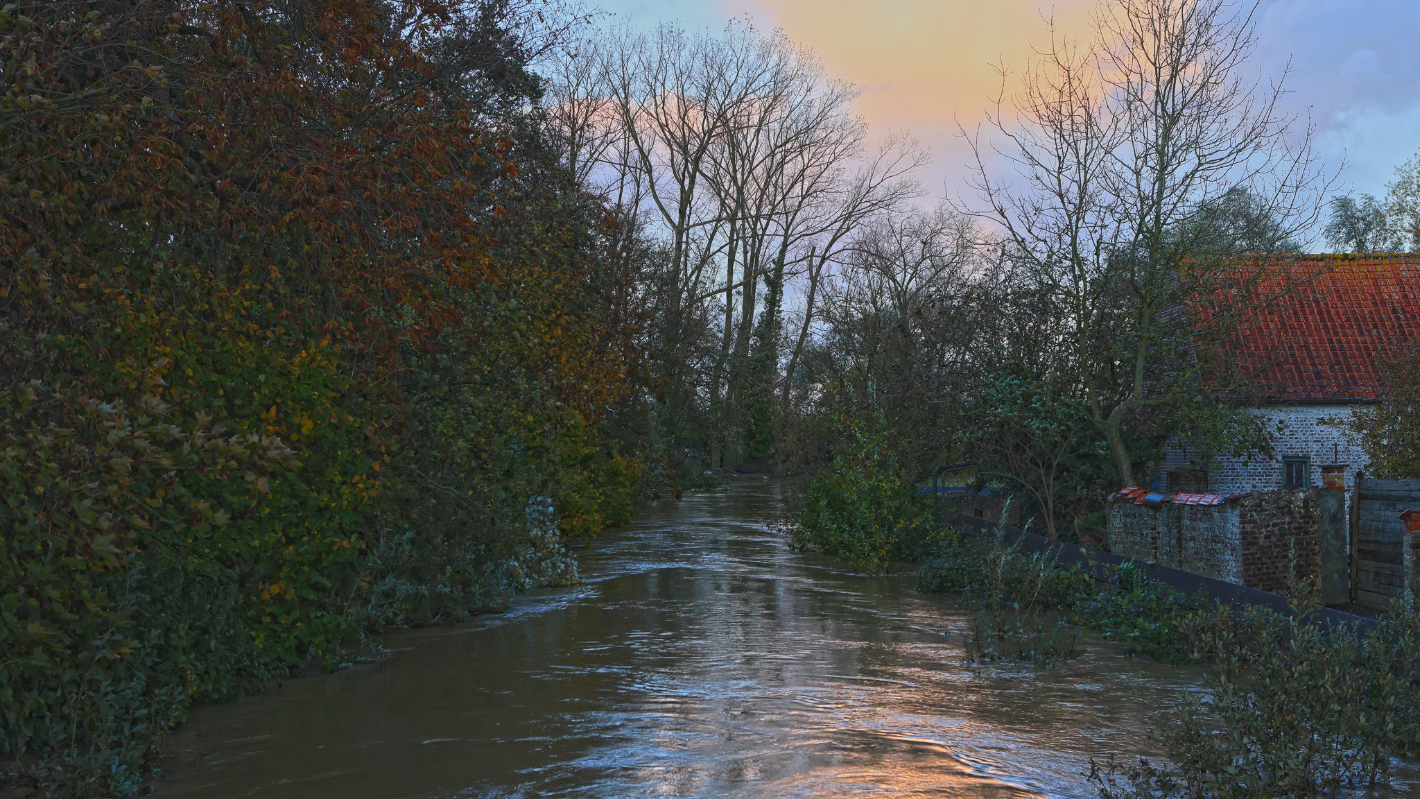
Foto’s November 2023 aan de brug over de IJzer te Elzendamme / Oostvleteren
Klik op een van de onderstaande foto’s om de fotocarrousel op te starten…
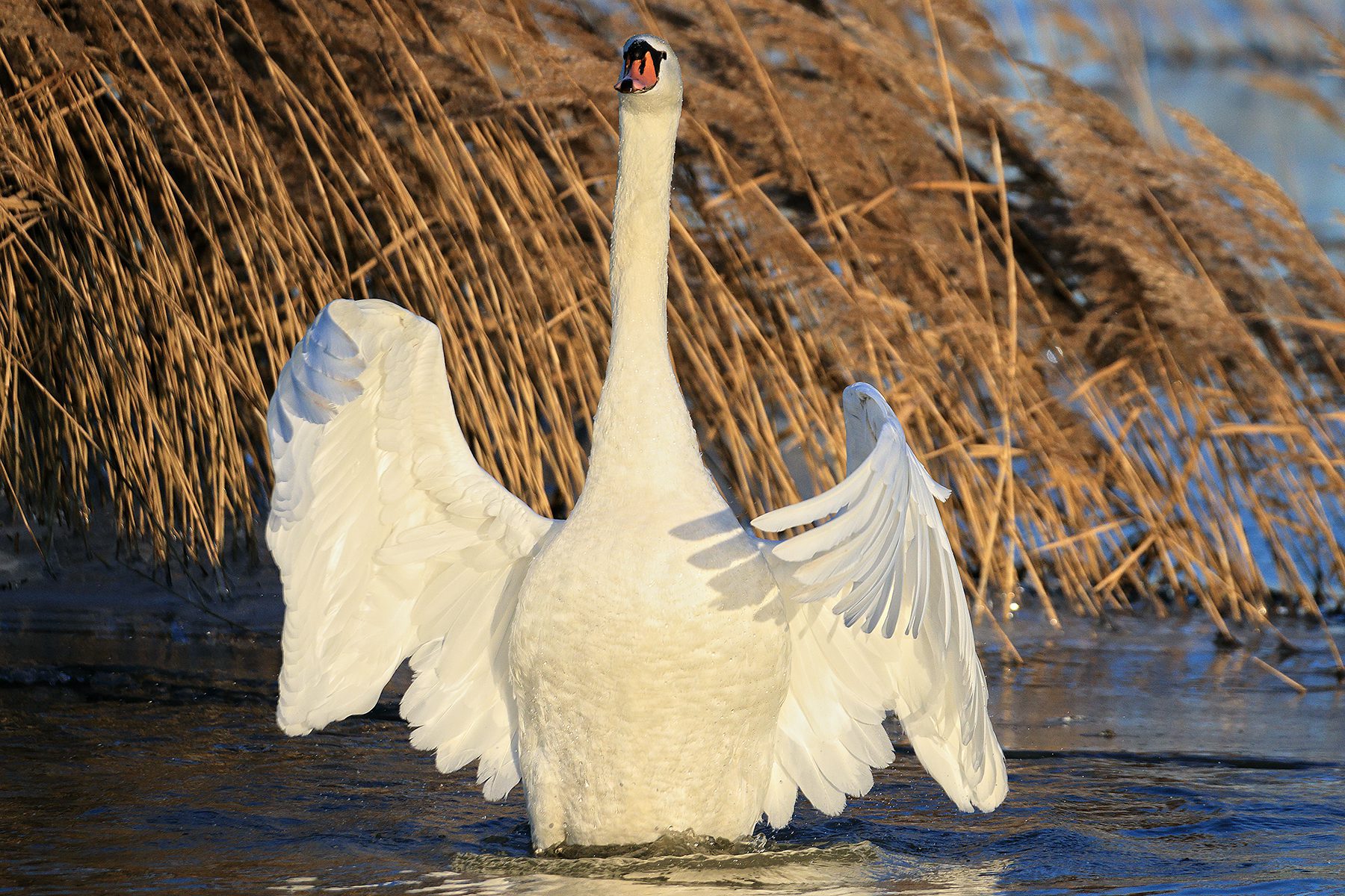
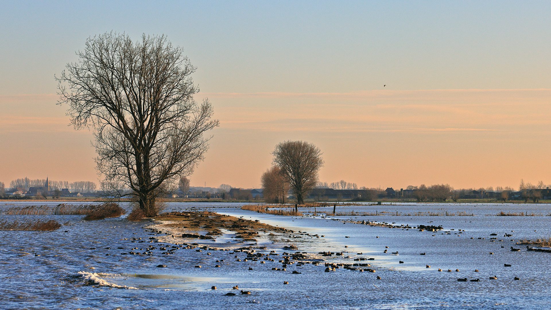
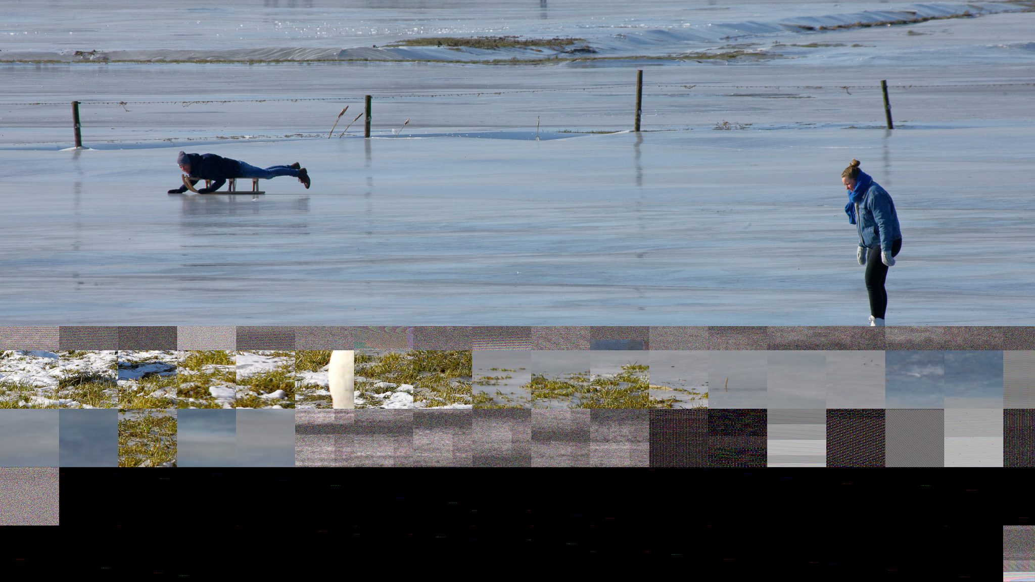
Foto’s 12-13 februari 2021 – Noordschote & Reninge
Klik op een van de onderstaande foto’s om de fotocarrousel op te starten…


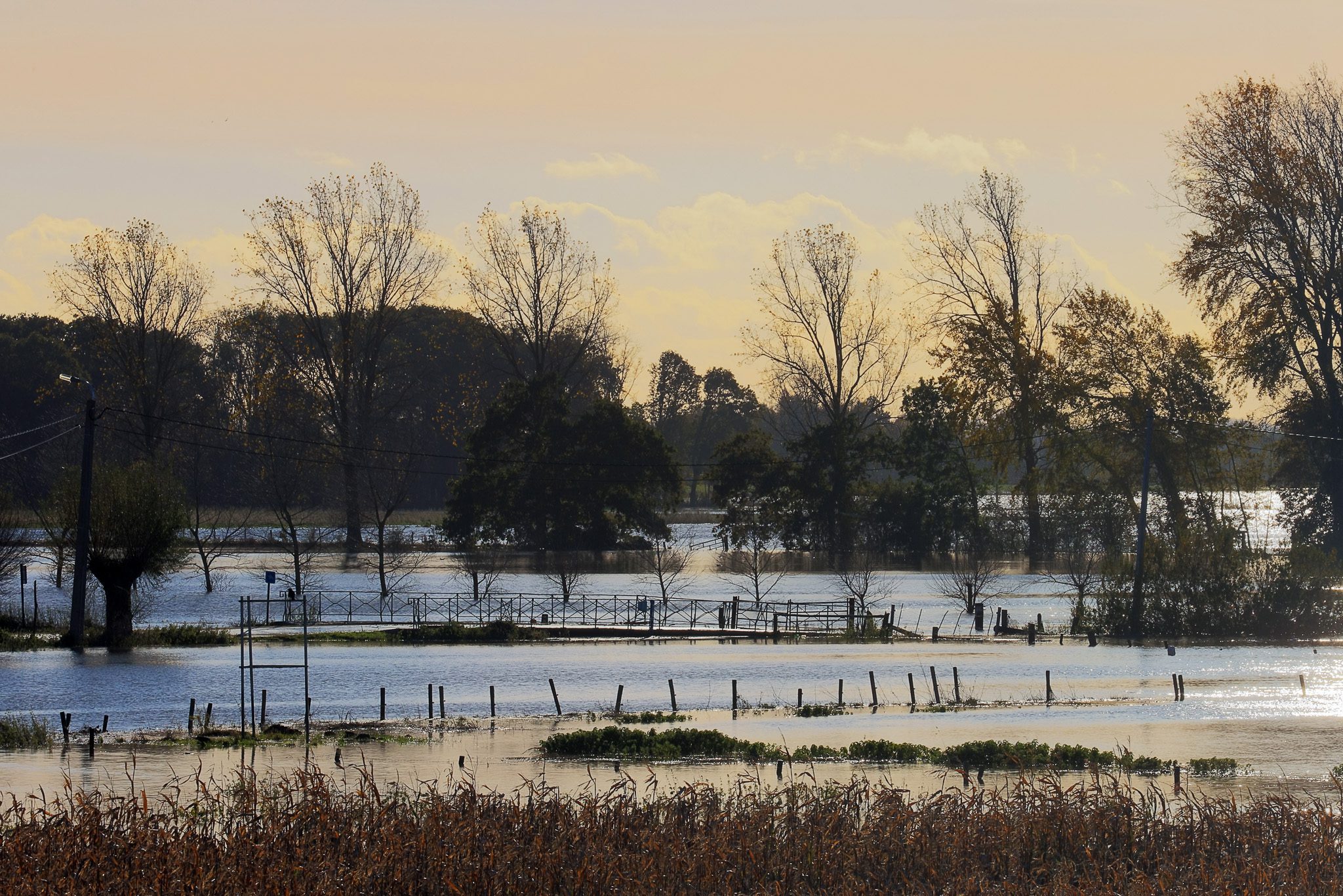
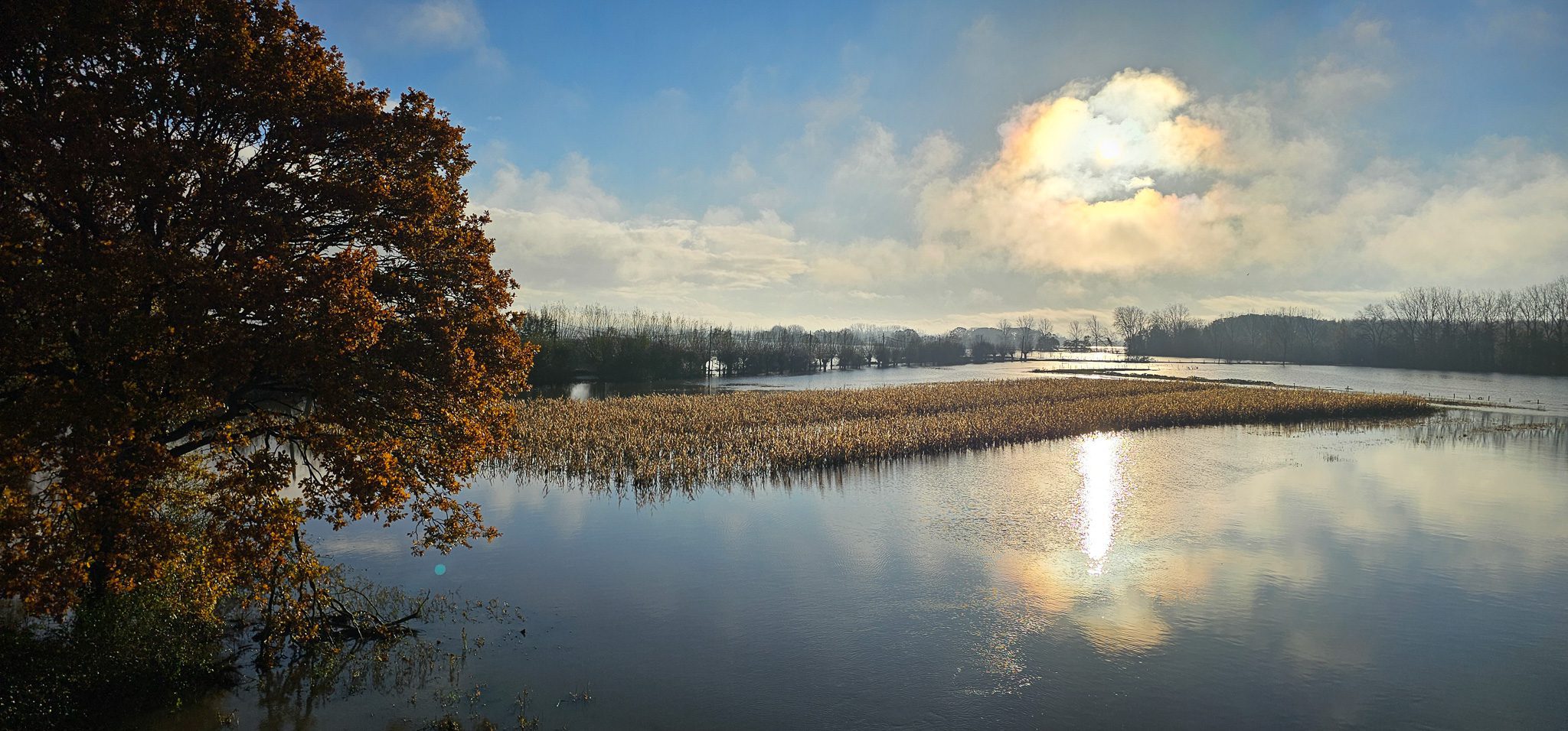
Foto’s van de IJzer te Roesbrugge (2021 en 2023)
Klik op een van de onderstaande foto’s om de fotocarrousel op te starten…
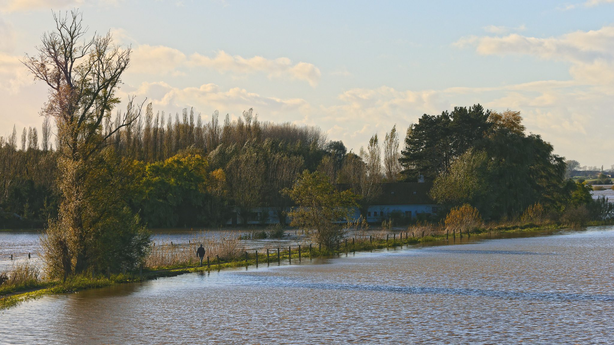
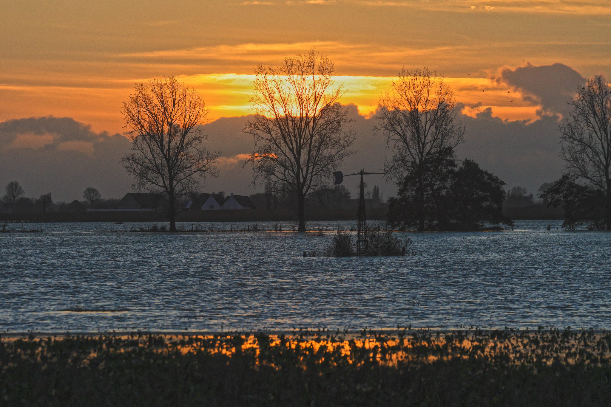
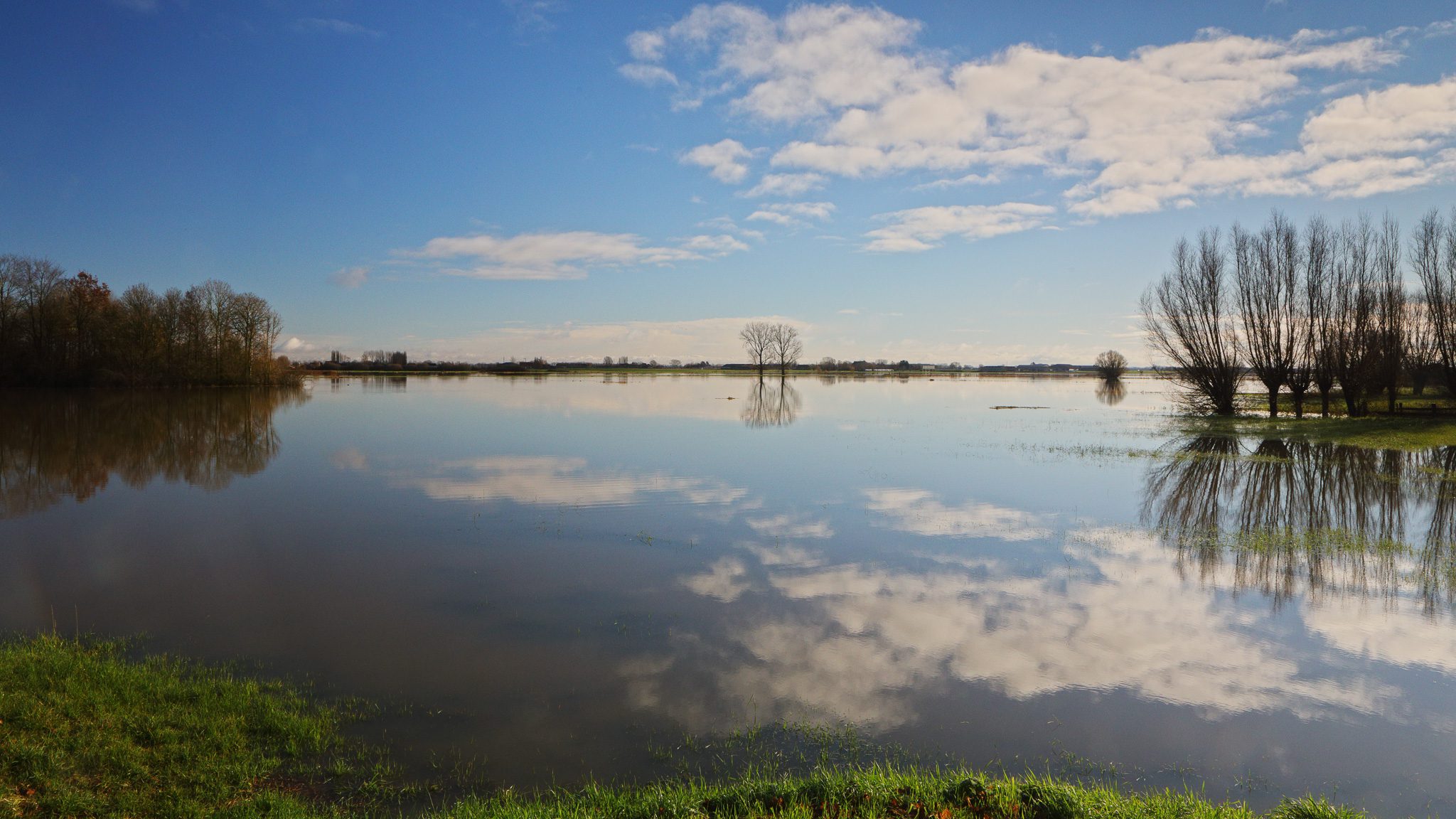
Foto’s van de ondergelopen weides te Noordschote/Reninge op 5 december 2021
Klik op een van de onderstaande foto’s om de fotocarrousel op te starten…
Disclaimer: Alle informatie die op top.vlaanderen wordt gepresenteerd werd met de grootste zorg samengesteld. Ze wordt ook regelmatig nagezien. Indien U opmerkingen heeft, fouten ziet, aanvullende informatie hebt, enzovoort… contacteer ons dan via ons contactformulier. Wij zijn niet verantwoordelijk voor mogelijks foutieve of onvolledige informatie.