
Sint-Bonifaciusbrug (Brugge, België)
                 Bonifaciusbrug Brugge - België 51.20504 - 3.225410 - 8 m |
Foto’s – Info – Meteo – Tips – Nieuws – Geo Info –
Algemene info over Sint-Bonifaciusbrug
De Sint-Bonifaciusbrug is, naast de Rozenhoedkaai, een van de bekendere fotografische spots van Brugge. Ze wordt ook de Liefdesbrug geheten. Naar Brugse normen is dit een zeer jonge brug: ze dateert immers uit het begin van de 20e eeuw (1910 om exact te zijn).
Foto’s zijn het bewijs van het fotogenieke van de plek. Ze ligt nabij de Onze-Lieve-Vrouwekerk en het Gruuthusemuseum.
Nieuwsbrieven
Bezoekerstips
Algemene tips:
1) zoekt U naar andere bezienswaardigheden in de buurt, raadpleeg dan onze Toeristische kaart van Top.Vlaanderen.
2) U kan onze overzichtslijsten raadplegen: per categorie ( bijv. tijdslijn, grootte, …) of per regio
3) U kan ook altijd de lokale toeristische diensten raadplegen :
Brugge, West-Vlaanderen, Vlaanderen, België: | ||||
| Onze info | ||||
| Bovenliggende toeristische regio's: | ||||
| Onze info | ||||
| Onderliggende regio's: | ||||
| Onze info | ||||
Geografische informatie
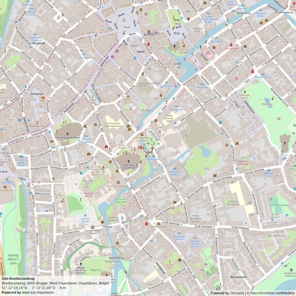
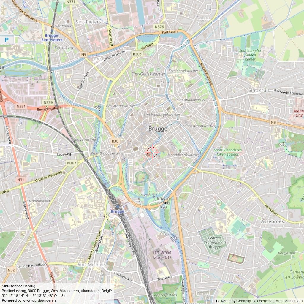
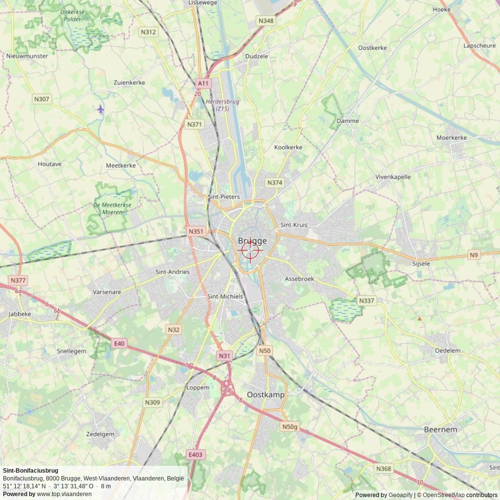
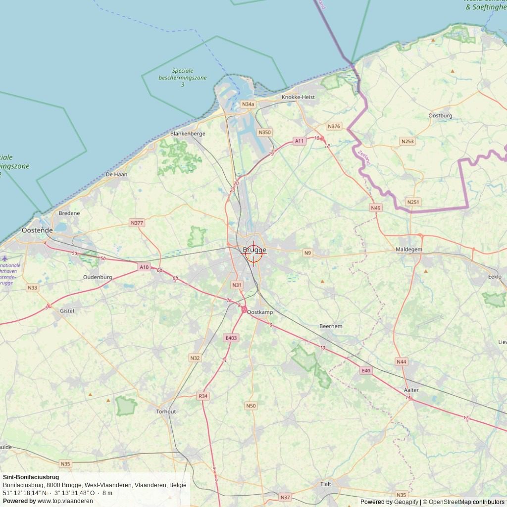
Adres: Bonifaciusbrug , 8000 Brugge, West-Vlaanderen, Vlaanderen, België
Geografische coördinaten:
– Google Maps: Latitude = 51.20504 – Longitude = 3.225410
– Open Street Maps: Latitude = 51.20504 – Longitude = 3.225410
– Altitude h = 8 m
Aanduiding van Sint-Bonifaciusbrug op:
Toeristische kaart van Top.Vlaanderen – Google Maps – OpenStreetMap.
Route naar Sint-Bonifaciusbrug: Route via Google Maps
Meteo

 9°C
9°C
| Day | Condition | Temperature | Precipitation | Rain Chance | Wind | Humidity | Pressure |
|---|---|---|---|---|---|---|---|
|
Today
23:00
|
 lichte regen lichte regen
|
8° | 9°°C | 0.2 mm | 20% | 19 Km/h | 95 % | 1019 mb |
|
Tomorrow
23:00
|
 lichte regen lichte regen
|
14° | 24°°C | 0.2 mm | 20% | 23 Km/h | 96 % | 1027 mb |
|
wo okt 26
23:00
|
 onbewolkt onbewolkt
|
9° | 17°°C | 0 mm | 0% | 10 Km/h | 97 % | 1031 mb |
|
do okt 26
23:00
|
 half bewolkt half bewolkt
|
11° | 20°°C | 0 mm | 0% | 17 Km/h | 95 % | 1028 mb |
|
vr okt 26
23:00
|
lichte regen
|
9° | 17°°C | 1 mm | 100% | 22 Km/h | 97 % | 1026 mb |
| Hour | Condition | Temperature | Precipitation | Rain Chance | Wind | Humidity | Pressure |
|---|---|---|---|---|---|---|---|
|
Today
02:00
|
 zeer lichte bewolking zeer lichte bewolking
|
8° | 8°°C | 0 mm | 0% | 7 Km/h | 92 % | 1016 mb |
|
Today
05:00
|
zeer lichte bewolking
|
8° | 9°°C | 0 mm | 0% | 9 Km/h | 93 % | 1016 mb |
|
Today
08:00
|
 licht bewolkt licht bewolkt
|
9° | 9°°C | 0 mm | 0% | 11 Km/h | 95 % | 1017 mb |
|
Today
11:00
|
 licht bewolkt licht bewolkt
|
12° | 12°°C | 0 mm | 0% | 13 Km/h | 84 % | 1019 mb |
|
Today
14:00
|
licht bewolkt
|
20° | 20°°C | 0 mm | 0% | 19 Km/h | 60 % | 1018 mb |
|
Today
17:00
|
bewolkt
|
17° | 17°°C | 0 mm | 0% | 17 Km/h | 61 % | 1018 mb |
|
Today
20:00
|
lichte regen
|
14° | 14°°C | 0.2 mm | 20% | 16 Km/h | 71 % | 1019 mb |
|
Today
23:00
|
 bewolkt bewolkt
|
14° | 14°°C | 0 mm | 0% | 17 Km/h | 74 % | 1019 mb |
Internet informatie over Sint-Bonifaciusbrug
Sint-Bonifaciusbrug:
Website – Facebook – Instagram –  YouTube – Wikipedia (NL – FR – EN)
Dienst voor Toerisme “Visit Bruges“:
Website – Facebook – Instagram
Toerisme Brugse Ommeland (Westtoer)
Website – Facebook – Instagram
Onze foto’s over Sint-Bonifaciusbrug
Onze foto’s, video’s, … zijn allen (c) 2004-2026, Top.Vlaanderen, België. Ze mogen niet “zomaar” worden overgenomen of gebruikt. Wil je ze gebruiken voor een of ander project, contacteer ons vooraf en we kijken hoe we kunnen samenwerken. Wil U uw eigen toeristische attractie, B&B, vakantiewoning… laten fotograferen door ons, dat kan ook. Neem hiervoor contact met ons op via ons Contactformulier .
Foto’s van het bezoek op 14 april 2026
Klik op een van de onderstaande foto’s om de fotocarrousel op te starten…

Disclaimer: Alle informatie die op top.vlaanderen wordt gepresenteerd werd met de grootste zorg samengesteld. Ze wordt ook regelmatig nagezien. Indien U opmerkingen heeft, fouten ziet, aanvullende informatie hebt, enzovoort… contacteer ons dan via ons contactformulier. Wij zijn niet verantwoordelijk voor mogelijks foutieve of onvolledige informatie.


