Cabourduinen (Adinkerke, België)
Foto’s – Info – Meteo – Tips – Nieuws – Geo Info –
Algemene info over Cabourduinen
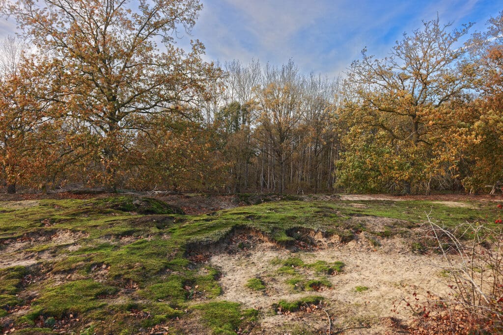
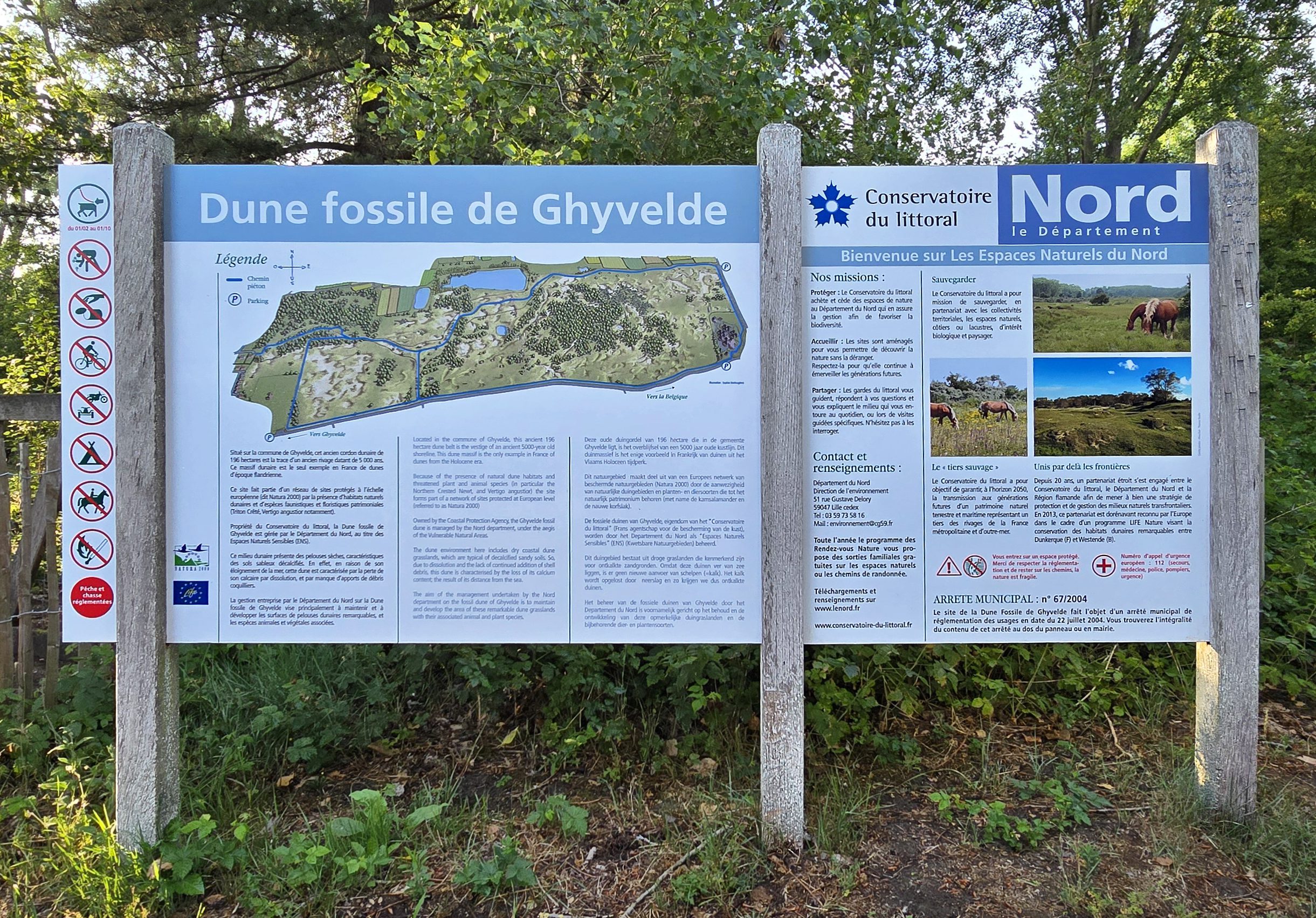
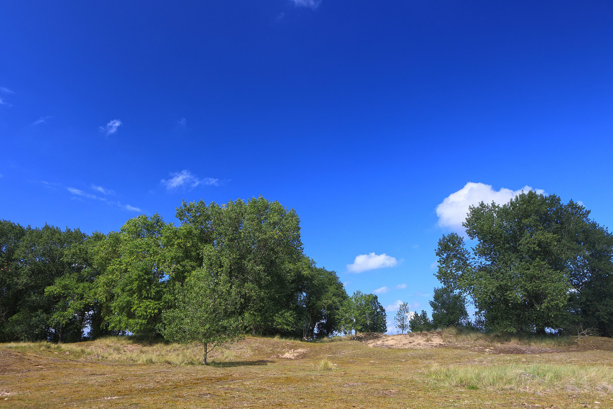
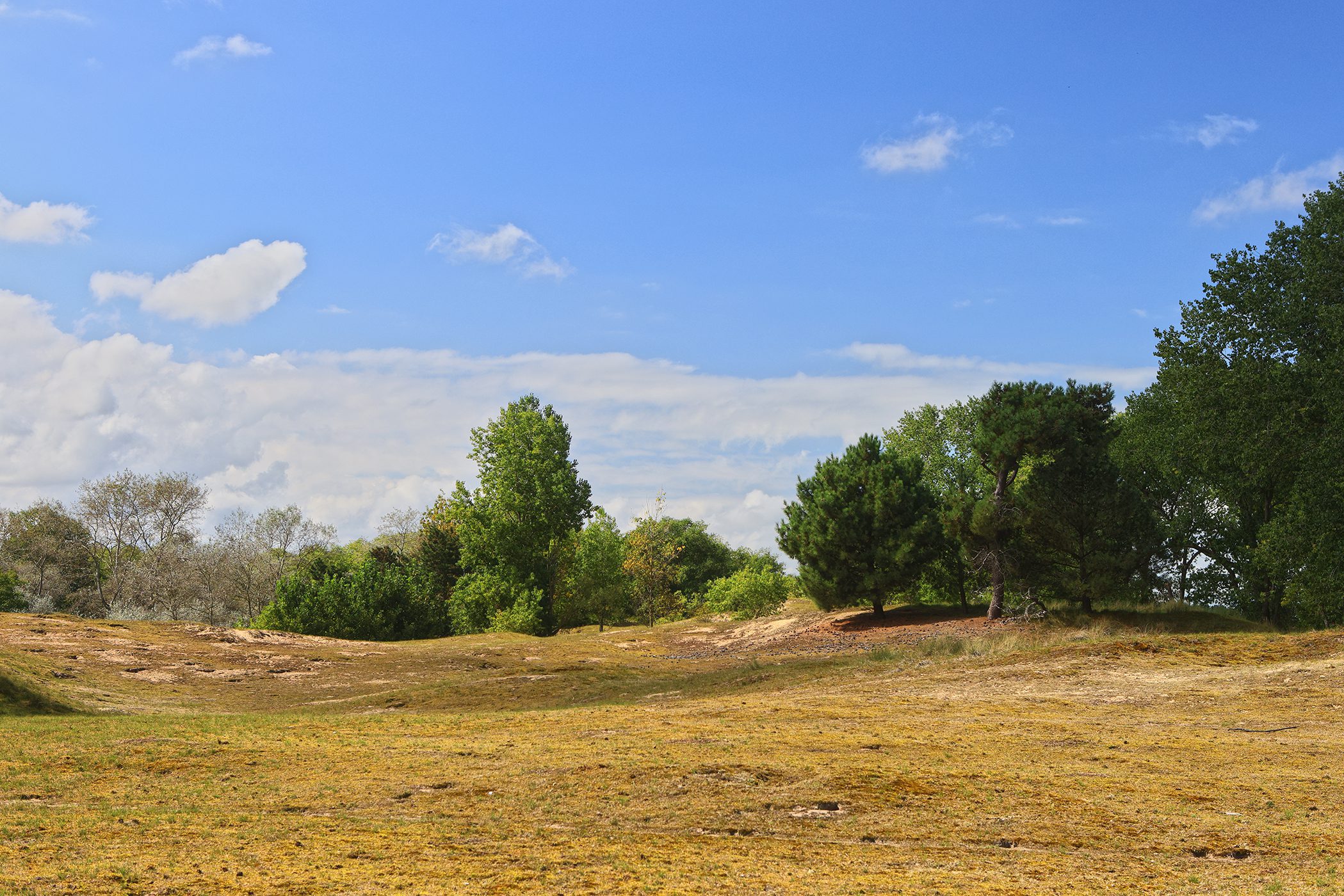
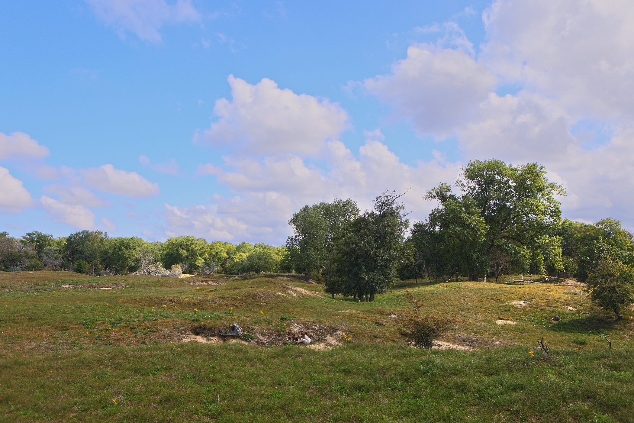
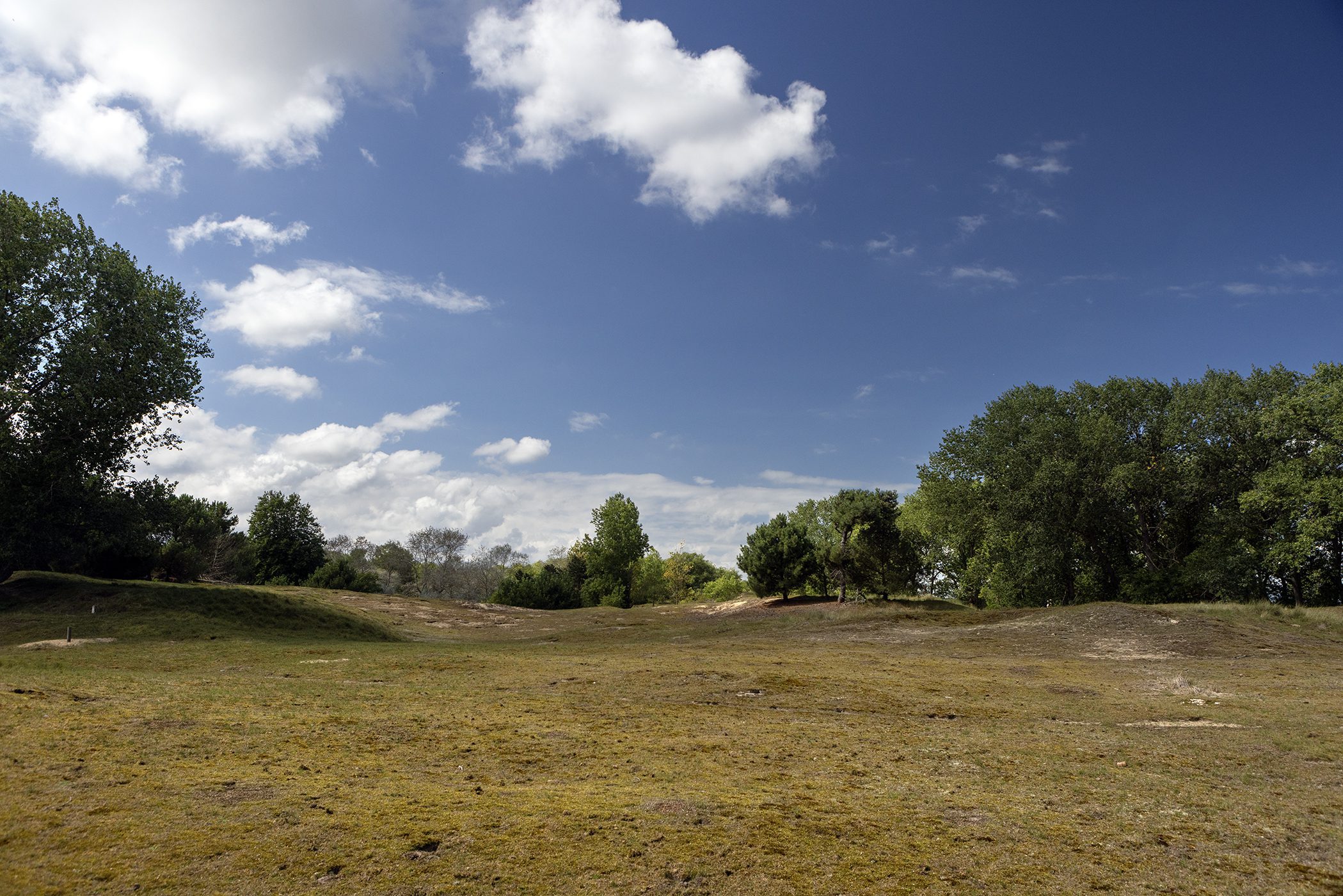
De Cabourduinen is een aaneensluitend stuk van 89 hectares aan oude, zogeheten, fossiele duinen. Het is een beschermd gebied bestaande uit eeuwenoude duinen: meer dan 3.300 jaar oud. Sommige bronnen spreken zelfs van 5.000 of 12.000 jaar oud. Enfin, héél oud dus. Daarmee zijn het de oudste van de hele Belgische kust. Het regenwater zorgde er in al die tijd voor dat het kalk uit de grond is verwijderd. Bijgevolg is er een specifieke vegetatie.
Dit natuurgebied ligt in Adinkerke aan de Franse grens, parallel aan de autosnelweg E40. Eigenlijk loopt het gebied nog verder tot in Gijvelde, Frankrijk. Daar ligt namelijk nog een stuk dat zelfs nog ietsjes groter is dan het Belgische stuk. Je kunt het ook zien als een Belgische voortzetting van het Franse “Les Dunes de Flandre“.
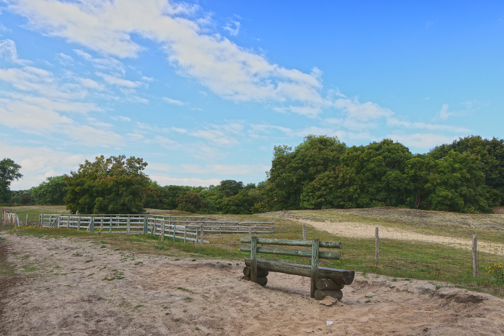
Het was ooit een waterwinningsgebied. Verspreid over het domein vind je nog enkele bunkers. In sommigen van die bunkers huizen vleermuizen. Als je wat geluk hebt zul je ook een kudde schapen en geiten zien. In de zomer kun je ook Shetlandpony’s zien. Deze dieren worden ingezet om het domein wat op een ecologische manier te begrazen.
Er loopt slechts één wandelweg door het domein. Het gebied is eigenlijk het best toegankelijk met een natuurgids. Zonder gids zijn er maar beperkte wandelmogelijkheden. Je kunt ook rond het domein wandelen waardoor je ook een goede indruk krijgt van dit unieke duingebied.
Men wil de konijnen, talrijk aanwezig, een beetje onder controle houden en vooral binnen het domein houden. Daarbuiten kunnen ze schade aanbrengen aan landbouwgewassen. Denk maar eens aan de heerlijke asperges van boer Deswarte. Hij moest een extra omheining, voor een stuk ingegraven in de grond (anders graven de konijnen er gewoon onder) aanleggen om zijn gewassen te beschermen. Dat er veel konijnen voorkomen zijn zie je aan de vele holen en omgewoelde aarde. Soms zijn er al hele stukken van de bovenliggende duinvegetatie weg.
Wist je dat… de gewone mensen niet eens op deze konijnen in de duinen mochten jagen? Dit was exclusief voorzien voor de adel en er stonden boetes op het illegaal stropen. Hier en daar verwijzen nog straatnamen in De Panne naar deze toen ook al veelvuldig voorkomende konijnen: zo heb je er bijvoorbeeld de “Konijnenweg“.
Verwar dit domein niet met het natuurdomein “De Westhoek”. In dat veel uitgestrektere natuurdomein vind je veel recentere zandduinen. De vegetatie is er ook anders. Merk op dat de Cabourduinen (nu niet meer) aan het water liggen (ooit dus wel), de duinen in het domein “De Westhoek” op heden wel. Daarom ontbreekt op deze infopagina de rubriek “Getijden”.
Nieuwsbrieven
Bezoekerstips
Algemene tips:
1) zoekt U naar andere bezienswaardigheden in de buurt, raadpleeg dan onze Toeristische kaart van Top.Vlaanderen.
2) U kan onze overzichtslijsten raadplegen: per categorie ( bijv. tijdslijn, grootte, …) of per regio
3) U kan ook altijd de lokale toeristische diensten raadplegen :
Adinkerke, West-Vlaanderen, Vlaanderen, België: | ||||
| Onze info | ||||
| Bovenliggende toeristische regio's: | ||||
| Onze info | ||||
Tip 1: In deze duinen kweekt een Franse boer duinasperges. Deze zijn zeer gewild in onder andere gastronomische restaurants. Ze hebben er ook een shop met regionale producten.
Tip 2: Twee publiekstrekkers van de Panne zijn het Natuurreservaat “De Westhoek” en de historische, beschermde Dumontwijk. Beiden zeer aantrekkelijk.
Geografische informatie
Adres: Cabourweg , 8660 Adinkerke, West-Vlaanderen, Vlaanderen, België
Geografische coördinaten:
– Google Maps: Latitude = 51.0629779 – Longitude = 2.5749726
– Open Street Maps: Latitude = 51.06464 – Longitude = 2.57475
– Altitude h = 6 m
Aanduiding van Cabourduinen op:
Toeristische kaart van Top.Vlaanderen – Google Maps – OpenStreetMap.
Route naar Cabourduinen: Route via Google Maps
Meteo

| Day | Condition | Temperature | Precipitation | Rain Chance | Wind | Humidity | Pressure |
|---|---|---|---|---|---|---|---|
|
Today
21:00
|
|
15° | 22°°C | 0 mm | 0% | 23 Km/h | 93 % | 1023 mb |
|
Tomorrow
21:00
|
|
12° | 21°°C | 0 mm | 0% | 18 Km/h | 94 % | 1027 mb |
|
ma jun 26
21:00
|
|
10° | 22°°C | 0 mm | 0% | 16 Km/h | 88 % | 1025 mb |
|
di jun 26
21:00
|
|
13° | 22°°C | 0 mm | 0% | 22 Km/h | 96 % | 1023 mb |
|
wo jul 26
21:00
|
|
15° | 20°°C | 0.88 mm | 88% | 34 Km/h | 97 % | 1022 mb |
| Hour | Condition | Temperature | Precipitation | Rain Chance | Wind | Humidity | Pressure |
|---|---|---|---|---|---|---|---|
|
Today
03:00
|
|
18° | 20°°C | 0 mm | 0% | 9 Km/h | 91 % | 1016 mb |
|
Today
06:00
|
|
18° | 19°°C | 0 mm | 0% | 12 Km/h | 88 % | 1017 mb |
|
Today
09:00
|
|
22° | 22°°C | 0 mm | 0% | 20 Km/h | 67 % | 1020 mb |
|
Today
12:00
|
|
22° | 22°°C | 0 mm | 0% | 23 Km/h | 66 % | 1021 mb |
|
Today
15:00
|
|
21° | 21°°C | 0 mm | 0% | 22 Km/h | 58 % | 1022 mb |
|
Today
18:00
|
|
18° | 18°°C | 0 mm | 0% | 17 Km/h | 66 % | 1021 mb |
|
Today
21:00
|
|
15° | 15°°C | 0 mm | 0% | 11 Km/h | 93 % | 1023 mb |
|
Tomorrow
00:00
|
|
14° | 14°°C | 0 mm | 0% | 10 Km/h | 91 % | 1024 mb |
Internet informatie over Cabourduinen
Cabourduinen:
Website – ![]() YouTube – Wikipedia (NL)
YouTube – Wikipedia (NL)
Wandeling beschreven in “De Bliedemaker“: “Een wandeling van Adinkerke naar Ghyvelde” (2010).
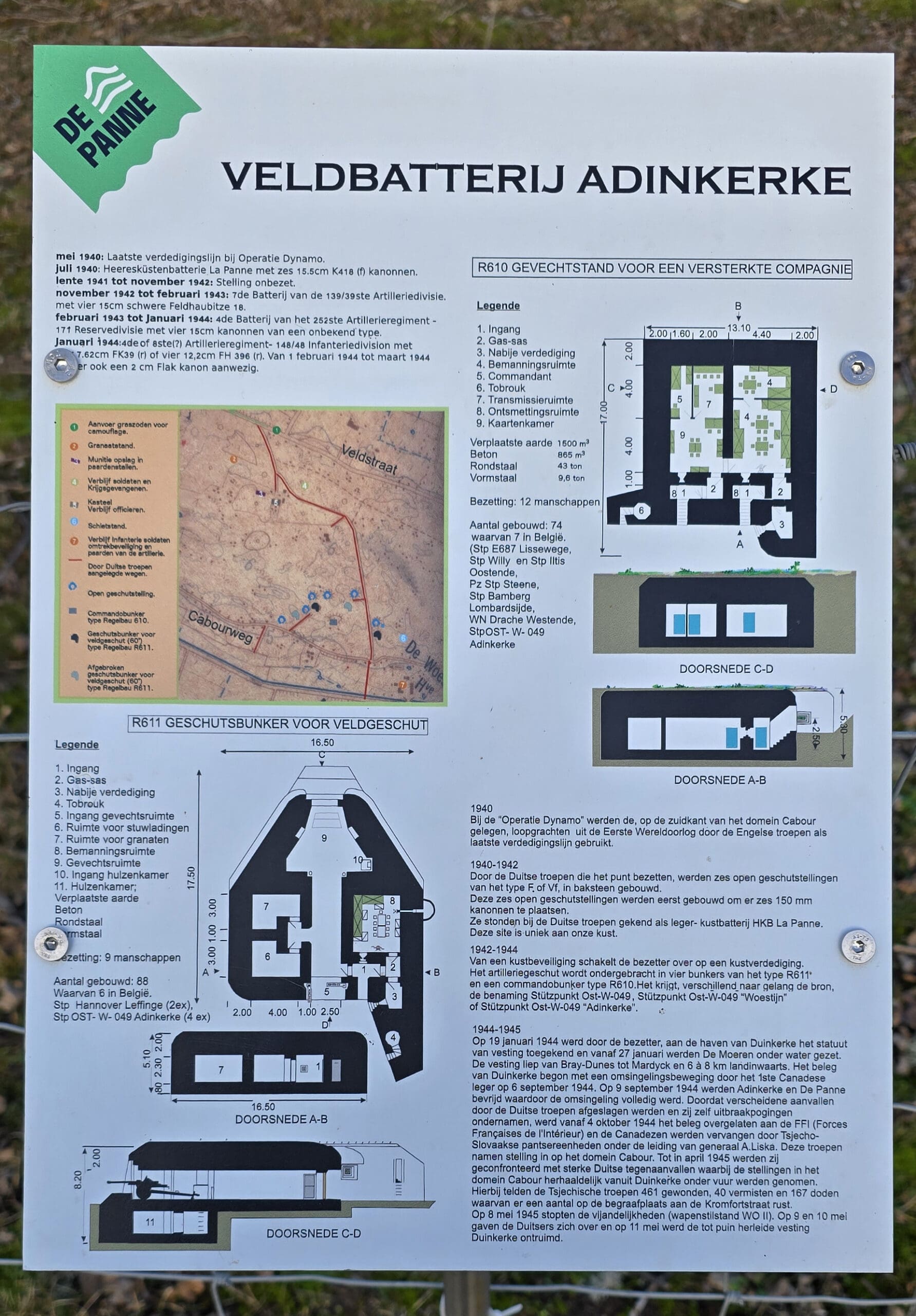
Agentschap Onroerend Erfgoed: Veldbatterij
Dienst voor Toerisme “Visit De Panne”
Website – Facebook – Instagram – ![]() YouTube
YouTube
Toerisme “De Kust (Westtoer)
Website – Facebook – Instagram – ![]() YouTube
YouTube
Aanpalende horecazaak “Au Retour de la Chasse”:
Adres: Maerestraat 1, 8660 De Panne
Locatie: Google Maps
Website
Onze foto’s over Cabourduinen
Onze foto’s, video’s, … zijn allen (c) 2004-2026, Top.Vlaanderen, België. Ze mogen niet “zomaar” worden overgenomen of gebruikt. Wil je ze gebruiken voor een of ander project, contacteer ons vooraf en we kijken hoe we kunnen samenwerken. Wil U uw eigen toeristische attractie, B&B, vakantiewoning… laten fotograferen door ons, dat kan ook. Neem hiervoor contact met ons op via ons Contactformulier .
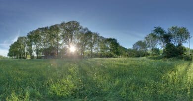
Foto’s van de Cabourduinen (22 november 2025)
Klik op een van de onderstaande foto’s om de fotocarrousel op te starten…


Foto’s van de ecologische begrazing (22 november 2025)
Klik op een van de onderstaande foto’s om de fotocarrousel op te starten…


Foto’s van oude oorlogsinfrastructuur (22 november 2025)
Klik op een van de onderstaande foto’s om de fotocarrousel op te starten…


Foto’s van de oude hoeve “Katjes Hille” (22 november 2025)
Deze hoeve werd reeds vermeld in de Terrier van 1776 (bron).
Locatie van deze authentieke hoeve: Google Maps
Adres: Veldstraat (ligt tussen huisnummers 97 en 99), Adinkerke, De Panne.
Klik op een van de onderstaande foto’s om de fotocarrousel op te starten…


Foto’s van infobord aan de Franse fossiele duinen (2 juli 2025)
Foto’s van Franse Cabourduinen (28 augustus 2023)
Locatie van de foto’s: Google Maps (rue de la Frontière, Gijvelde).
Klik op een van de onderstaande foto’s om de fotocarrousel op te starten…
Disclaimer: Alle informatie die op top.vlaanderen wordt gepresenteerd werd met de grootste zorg samengesteld. Ze wordt ook regelmatig nagezien. Indien U opmerkingen heeft, fouten ziet, aanvullende informatie hebt, enzovoort… contacteer ons dan via ons contactformulier. Wij zijn niet verantwoordelijk voor mogelijks foutieve of onvolledige informatie.