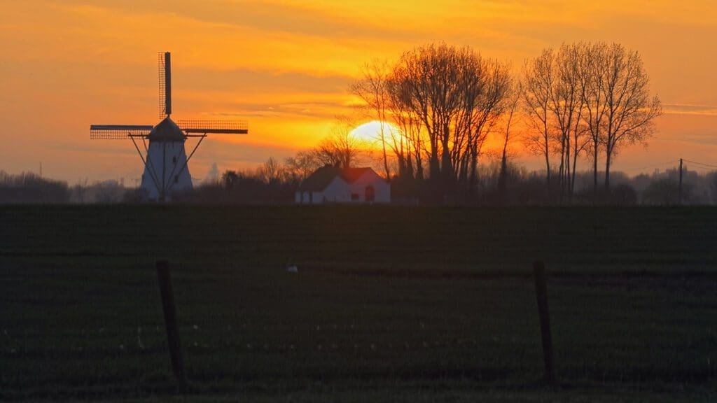
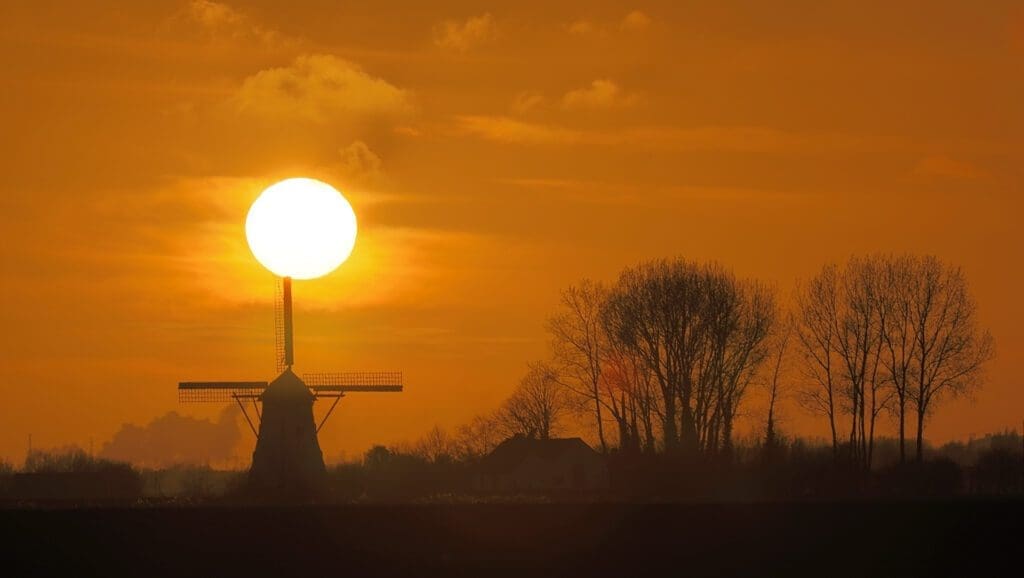
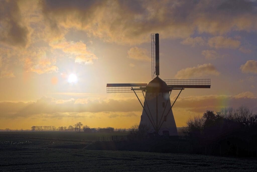
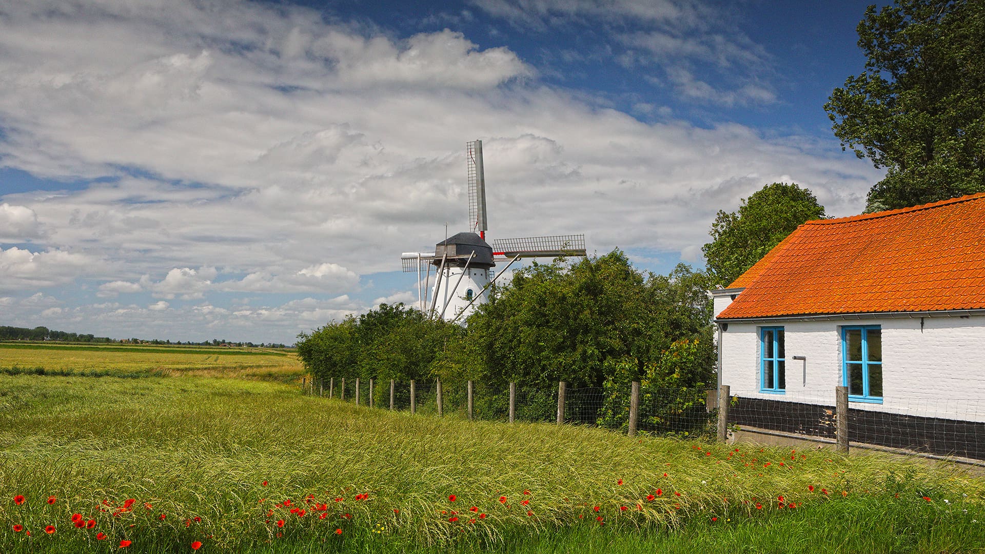
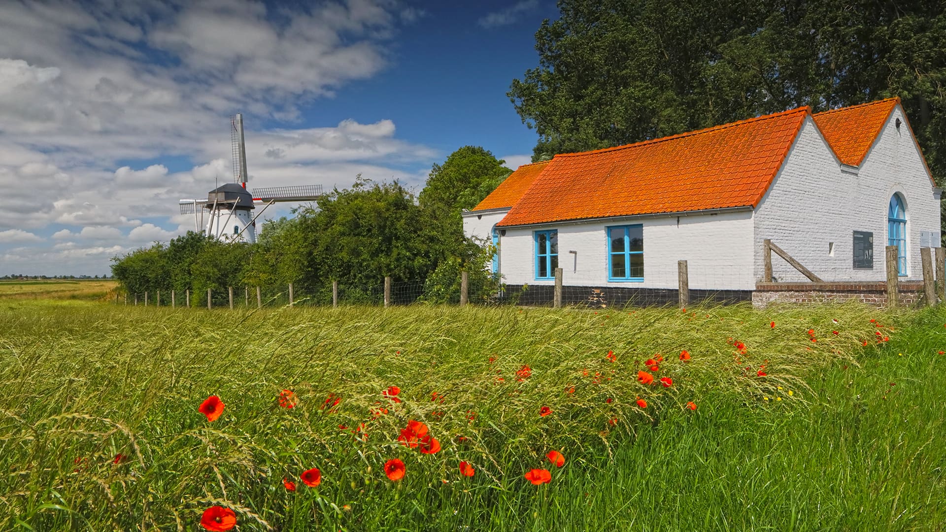
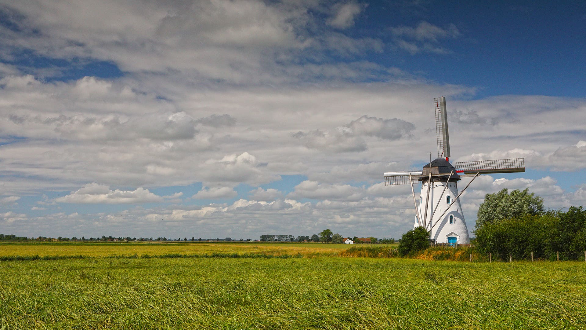
Sint-Karelsmolen (De Moeren, Veurne)
Pittoreske molen die destijds werd gebruikt om de Moeren droog te houden. De Moeren zijn stukken land die lager dan de zeespiegel liggen. Om ze droog te houden zijn veel sloten en pompen voorzien.
DE MOEREN BelgiëGoogle Maps.
Info in Wikipedia.
Tip: interesseert het U om een molen te gaan bezichtigen bij U in de buurt of er gewoon meer informatie over te vernemen, dan kunt U terecht in het Belgische Molenbestand. U kunt ook direct op een landkaart om het even welke molen gaan opzoeken. Zeker eens doen: landkaart met alle molens van België.
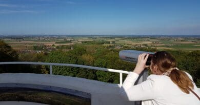
- 360° foto van het uitzicht op en rond de Sint-Karelsmolen
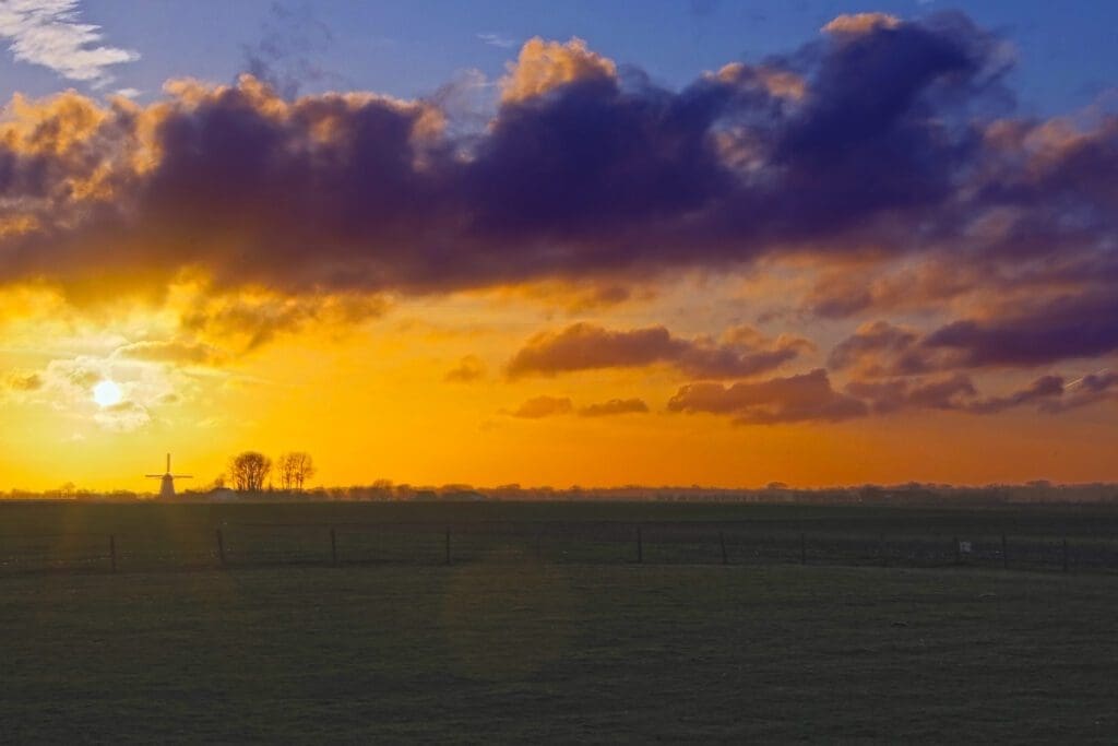
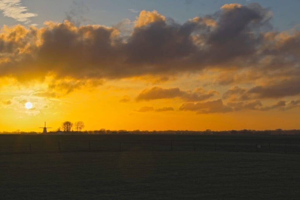
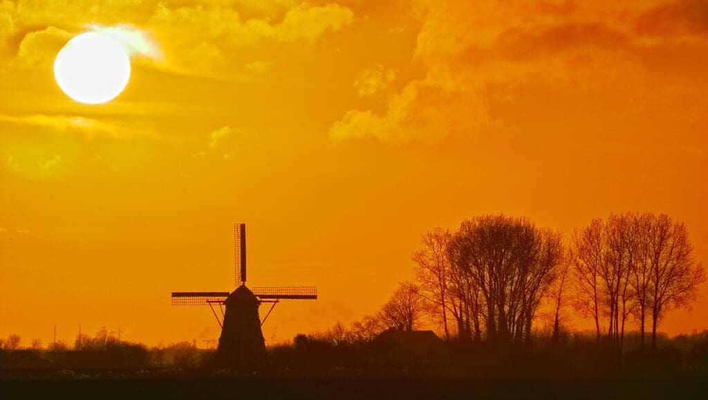
Foto’s van de zonsondergang op 21 maart 2023: