
Hill 60 (Zillebeke, Ieper, België)
                  Zwarteleenstraat Ieper - België 50.823421 - 2.930245 - 59 m |
Foto’s – Info – Meteo – Tips – Nieuws – Geo Info –
Algemene info over Hill 60
In Hill 60 kun je nog een bunker van Wereldoorlog I bekijken en dit in een klein, mooi park. De glooiingen zijn ontstaan door de inslag van bommen. Dat zie je niet meer op zoveel plaatsen. Waar je ook nog goed zo’n pokdalig landschap kunt zien is in de Vimy Trenches.
Nieuwsbrieven
Bezoekerstips
Algemene tips:
1) zoekt U naar andere bezienswaardigheden in de buurt, raadpleeg dan onze Toeristische kaart van Top.Vlaanderen.
2) U kan onze overzichtslijsten raadplegen: per categorie ( bijv. tijdslijn, grootte, …) of per regio
3) U kan ook altijd de lokale toeristische diensten raadplegen :
Ieper, West-Vlaanderen, Vlaanderen, België: | ||||
| Onze info | ||||
| Bovenliggende toeristische regio's: | ||||
| Onze info | ||||
| Onderliggende regio's: | ||||
| Onze info | ||||
Tip: In en rond Ieper en Zonnebeke zijn diverse heel gekende plaatsen te bezoeken in het kader van het herinneringstoerisme. Om er maar enkele op te noemen: Hill 62, Passchendaele Museum, Tyne Cot, Buttes Cemetery, Essex Farm, enzovoort.
Geografische informatie
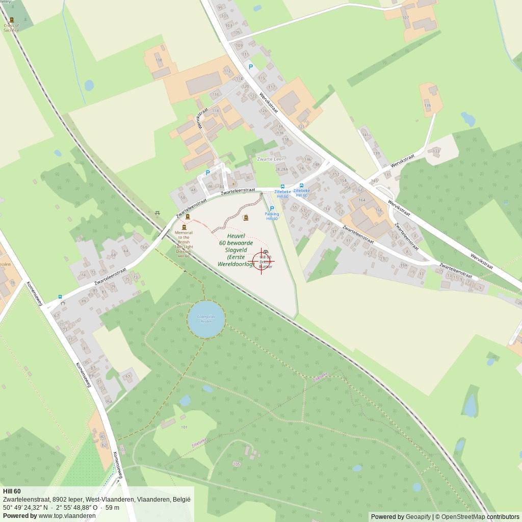
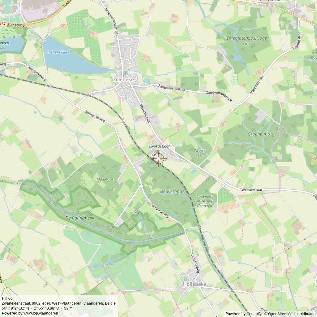
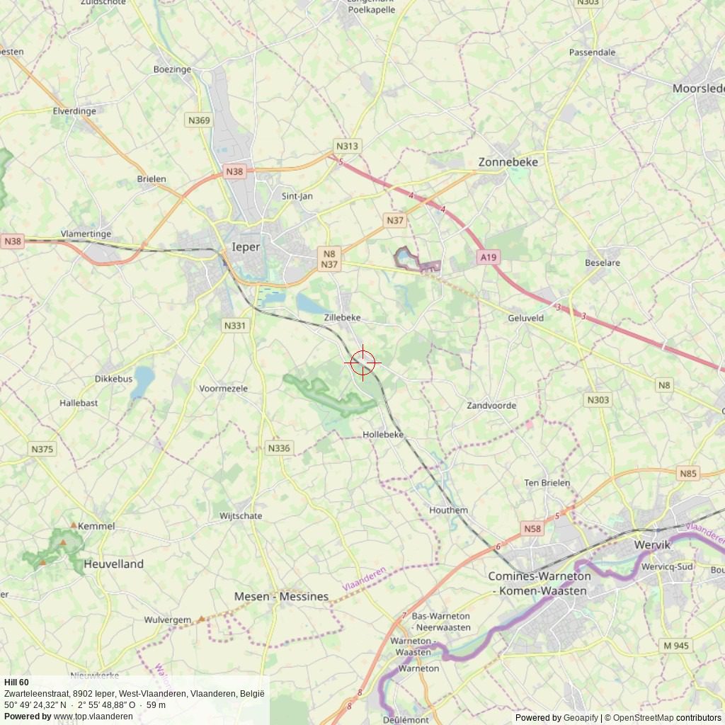
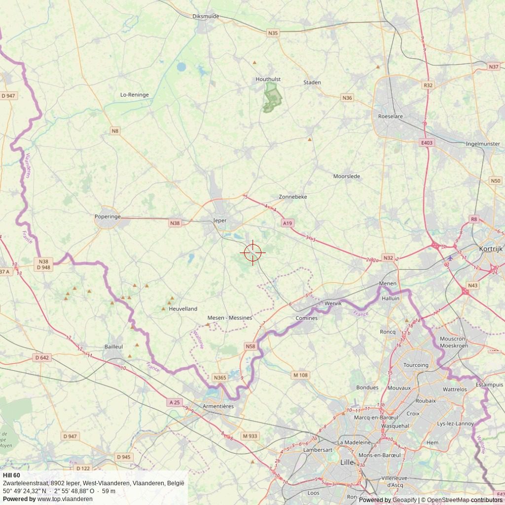
Adres: Zwarteleenstraat , 8902 Ieper, West-Vlaanderen, Vlaanderen, België
Geografische coördinaten:
– Google Maps: Latitude = 50.8241742 – Longitude = 2.9296849
– Open Street Maps: Latitude = 50.823421 – Longitude = 2.930245
– Altitude h = 59 m
Aanduiding van Hill 60 op:
Toeristische kaart van Top.Vlaanderen – Google Maps – OpenStreetMap.
Route naar Hill 60: Route via Google Maps
Meteo

 8°C
8°C

| Day | Condition | Temperature | Precipitation | Rain Chance | Wind | Humidity | Pressure |
|---|---|---|---|---|---|---|---|
|
Today
23:00
|
 licht bewolkt licht bewolkt
|
7° | 9°°C | 0 mm | 0% | 18 Km/h | 94 % | 1019 mb |
|
Tomorrow
23:00
|
 lichte regen lichte regen
|
14° | 23°°C | 0.28 mm | 28% | 25 Km/h | 94 % | 1027 mb |
|
wo okt 26
23:00
|
licht bewolkt
|
9° | 18°°C | 0 mm | 0% | 11 Km/h | 96 % | 1031 mb |
|
do okt 26
23:00
|
licht bewolkt
|
11° | 20°°C | 0 mm | 0% | 16 Km/h | 96 % | 1028 mb |
|
vr okt 26
23:00
|
lichte regen
|
10° | 17°°C | 1 mm | 100% | 21 Km/h | 97 % | 1025 mb |
| Hour | Condition | Temperature | Precipitation | Rain Chance | Wind | Humidity | Pressure |
|---|---|---|---|---|---|---|---|
|
Today
02:00
|
onbewolkt
|
8° | 8°°C | 0 mm | 0% | 7 Km/h | 86 % | 1017 mb |
|
Today
05:00
|
 zeer lichte bewolking zeer lichte bewolking
|
8° | 9°°C | 0 mm | 0% | 8 Km/h | 89 % | 1017 mb |
|
Today
08:00
|
 licht bewolkt licht bewolkt
|
9° | 10°°C | 0 mm | 0% | 11 Km/h | 94 % | 1018 mb |
|
Today
11:00
|
licht bewolkt
|
13° | 13°°C | 0 mm | 0% | 12 Km/h | 86 % | 1019 mb |
|
Today
14:00
|
 bewolkt bewolkt
|
17° | 17°°C | 0 mm | 0% | 18 Km/h | 66 % | 1018 mb |
|
Today
17:00
|
bewolkt
|
17° | 17°°C | 0 mm | 0% | 18 Km/h | 61 % | 1018 mb |
|
Today
20:00
|
 bewolkt bewolkt
|
15° | 15°°C | 0 mm | 0% | 17 Km/h | 66 % | 1018 mb |
|
Today
23:00
|
bewolkt
|
15° | 15°°C | 0 mm | 0% | 17 Km/h | 68 % | 1019 mb |
Internet informatie over Hill 60
Info op Wikipedia ( NL – FR – EN ).
Info op Onroerend Erfgoed.
Dienst voor Toerisme “Toerisme Ieper” / “Visit Ieper“:
Website – Facebook – Instagram
Toerisme Westhoek (Westtoer)
Website – Facebook – Instagram
Info over de aanpalende horecazaak “Hill 60“.
Onze foto’s over Hill 60
Onze foto’s, video’s, … zijn allen (c) 2004-2026, Top.Vlaanderen, België. Ze mogen niet “zomaar” worden overgenomen of gebruikt. Wil je ze gebruiken voor een of ander project, contacteer ons vooraf en we kijken hoe we kunnen samenwerken. Wil U uw eigen toeristische attractie, B&B, vakantiewoning… laten fotograferen door ons, dat kan ook. Neem hiervoor contact met ons op via ons Contactformulier .
Sferische 360° foto’s
Wil U weten hoe zo’n sferische 360° foto wordt gemaakt, bekijk dan onze speciale pagina ter zake: “Het maken van een sferische 360° foto“.
- 360° foto van de mooie eik aan de bunker
- 360° overzichtfoto
- 360° foto aan de bunker


Disclaimer: Alle informatie die op top.vlaanderen wordt gepresenteerd werd met de grootste zorg samengesteld. Ze wordt ook regelmatig nagezien. Indien U opmerkingen heeft, fouten ziet, aanvullende informatie hebt, enzovoort… contacteer ons dan via ons contactformulier. Wij zijn niet verantwoordelijk voor mogelijks foutieve of onvolledige informatie.


